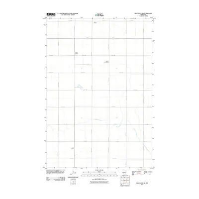
2010 Map of Gracelock SW
USGS Topo · Published 2010About this map
Dry Weather Creek meanders through this agricultural landscape in Chippewa County, providing a natural break in the strictly gridded section lines of the Minnesota prairie. The area’s spiritual and community history is preserved through a high density of rural burial grounds, including the Original Big Bend Cemetery and the Big Bend Lutheran Church Cemetery. These sites, along with Mandt Cemetery to the north and Brono Cemetery further south, serve as primary landmarks for local genealogists tracing early settlement patterns. The map is defined by its meticulous road network, where routes like County Hwy 8 and 70th St NW intersect to form the backbone of this farming region, illustrating the enduring township-and-range layout that dictates the geography of the Midwest.
Find a feature on this map
26 named features on this map. Tap any name to fly to it.
Don’t see what you’re looking for? This feature index may not catch every label — zoom into the map to look around manually.
Map Details
Editions of this 2010 Gracelock SW Map
This is the sole edition of this map. No revisions or reprints were ever made.
Other maps of this area

1953 · New Ulm
USGS Topo · 1:250,000

1953 · Saint Cloud
USGS Topo · 1:250,000

1957 · Saint Cloud
USGS Topo · 1:250,000

1957 · New Ulm
USGS Topo · 1:250,000

1958 · New Ulm
USGS Topo · 1:250,000

1958 · Saint Cloud
USGS Topo · 1:250,000

1958 · Gracelock NE
USGS Topo · 1:24,000

1958 · Big Bend City
USGS Topo · 1:24,000

1958 · Watson
USGS Topo · 1:24,000

1958 · Gracelock NW
USGS Topo · 1:24,000