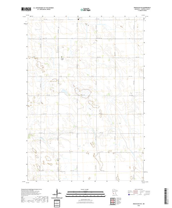
2022 Map of Gracelock SW
USGS Topo · Published 2022About this map
Agricultural patterns and small rural cemeteries define this portion of Chippewa County. The landscape is structured by a precise grid of county roads, including Co Rd 12, which traverse a terrain marked by numerous wetlands and the winding course of Dry Weather Cr. For those researching local history or genealogy, the map identifies several distinct burial sites that reflect the area's early settlement. Mandt Cem sits near the northern boundary, while Original Big Bend Cem and Brono Cem are located further south. These sites, preserved amidst the cultivated fields, serve as primary landmarks for the township divisions of t119n r41w, t119n r40w, and their southern counterparts.
Find a feature on this map
18 named features on this map. Tap any name to fly to it.
Don’t see what you’re looking for? This feature index may not catch every label — zoom into the map to look around manually.
Map Details
Editions of this 2022 Gracelock SW Map
This is the sole edition of this map. No revisions or reprints were ever made.
Other maps of this area

1953 · New Ulm
USGS Topo · 1:250,000

1953 · Saint Cloud
USGS Topo · 1:250,000

1957 · Saint Cloud
USGS Topo · 1:250,000

1957 · New Ulm
USGS Topo · 1:250,000

1958 · New Ulm
USGS Topo · 1:250,000

1958 · Saint Cloud
USGS Topo · 1:250,000

1958 · Gracelock NE
USGS Topo · 1:24,000

1958 · Big Bend City
USGS Topo · 1:24,000

1958 · Watson
USGS Topo · 1:24,000

1958 · Gracelock NW
USGS Topo · 1:24,000