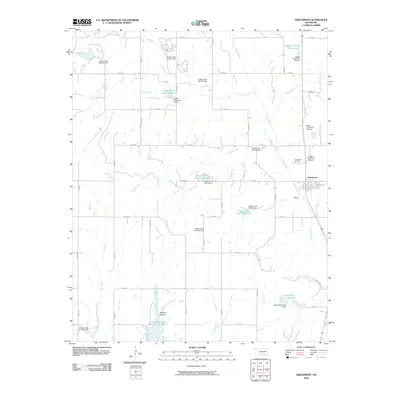
2009 Map of Gracemont
USGS Topo · Published 2009About this map
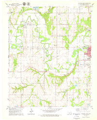
Gracemont anchors this central Oklahoma landscape, positioned where a dense network of local roads meets the valley of Sugar Creek. The town is supported by its nearby Gracemont Cemetery and a complex system of water management infrastructure that characterizes the drainage basins of Keechi Creek and Yellow Creek. This survey captures a highly engineered watershed, notable for the extensive series of small reservoirs and dams, such as Sugar Creek Site 1 Reservoir and Sugar Creek Site 4 Reservoir, which are distributed across the terrain to control runoff. To the south, the Stockton Canyon area and Public Service Reservoir Number 3 indicate the intersection of utility infrastructure with the natural topography. The map also documents a web of tributary streams including Deep Creek, Lost Creek, and the uniquely named White Bread Creek, illustrating the area's transition between agricultural plains and more complex canyon and creek systems.
Find a feature on this map
50 named features on this map. Tap any name to fly to it.
Don’t see what you’re looking for? This feature index may not catch every label — zoom into the map to look around manually.
Map Details
Editions of this 2009 Gracemont Map
This is the sole edition of this map. No revisions or reprints were ever made.
Other maps of this area

1893 · Buggy Creek
USGS Topo · 1:62,500

1945 · Anadarko
USGS Topo · 1:62,500

1951 · Binger
USGS Topo · 1:62,500

1951 · Fort Cobb
USGS Topo · 1:62,500

1955 · Clinton
USGS Topo · 1:250,000

1957 · Clinton
USGS Topo · 1:250,000
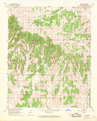
1967 · Cogar
USGS Topo · 1:24,000
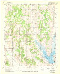
1968 · Anadarko NW
USGS Topo · 1:24,000
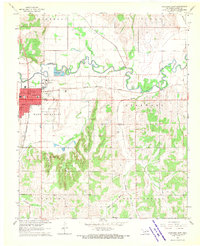
1968 · Anadarko East
USGS Topo · 1:24,000
1979 · Anadarko West
USGS Topo · 1:24,000