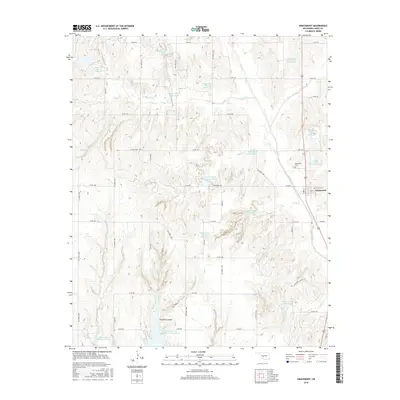
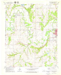
2016 Map of Gracemont
USGS Topo · Published 2016About this map
Gracemont anchors the eastern edge of this Caddo County landscape, positioned along the north-south corridor of Highway 281. The town's grid, including Main St and E McCall St, sits just south of the Gracemont Cem. The surrounding terrain is defined by a dense network of water management features, most notably a series of numbered reservoirs along the tributaries of Sugar Cr. These sites, such as Sugar Creek Site 101 Reservoir and Sugar Creek Site 4a Reservoir, illustrate the extensive 20th-century hydraulic engineering designed to control runoff and support local agriculture.
Find a feature on this map
53 named features on this map. Tap any name to fly to it.
Don’t see what you’re looking for? This feature index may not catch every label — zoom into the map to look around manually.
Map Details
Editions of this 2016 Gracemont Map
This is the sole edition of this map. No revisions or reprints were ever made.
Other maps of this area

1893 · Buggy Creek
USGS Topo · 1:62,500

1945 · Anadarko
USGS Topo · 1:62,500

1951 · Binger
USGS Topo · 1:62,500

1951 · Fort Cobb
USGS Topo · 1:62,500

1955 · Clinton
USGS Topo · 1:250,000

1957 · Clinton
USGS Topo · 1:250,000
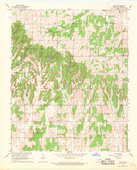
1967 · Cogar
USGS Topo · 1:24,000
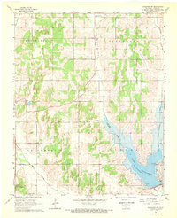
1968 · Anadarko NW
USGS Topo · 1:24,000
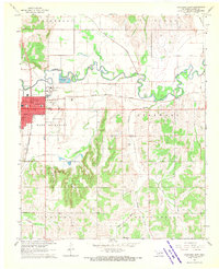
1968 · Anadarko East
USGS Topo · 1:24,000
1979 · Anadarko West
USGS Topo · 1:24,000