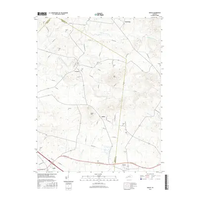
2016 Map of Gracey
USGS Topo · Published 2016About this map
The rolling agricultural land at the intersection of Caldwell, Trigg, and Christian counties is defined by the winding course of the Muddy Fork Little River and its numerous tributaries. In this rural landscape, small settlements like Cerulean and Gracey anchor a network of country roads, while prominent elevations such as Buie Knob and Buffalo Knob provide visibility over the surrounding fields. The area is characterized by a significant density of family burial grounds, including the Childress Cem, Wright Cem, and Thomas Cem, which are scattered throughout the hillsides and farmsteads. These cemeteries, alongside local landmarks like Buffalo, offer a clear picture of the region's genealogical history and early settlement patterns. Transport routes like the Cerulean Bainbridge Rd and Old Princeton Rd link the small community hubs and reflect the traditional connections between these rural Kentucky townships.
Find a feature on this map
67 named features on this map. Tap any name to fly to it.
Don’t see what you’re looking for? This feature index may not catch every label — zoom into the map to look around manually.
Map Details
Editions of this 2016 Gracey Map
This is the sole edition of this map. No revisions or reprints were ever made.
Other maps of this area

1908 · Princeton
USGS Topo · 1:62,500

1909 · Dawson Springs
USGS Topo · 1:48,000

1910 · Princeton
USGS Topo · 1:62,500

1911 · Dawson Springs
USGS Topo · 1:62,500

1950 · Caledonia
USGS Topo · 1:24,000

1951 · Church Hill
USGS Topo · 1:24,000

1951 · Caledonia
USGS Topo · 1:24,000

1952 · Pleasant Green Hill
USGS Topo · 1:24,000

1953 · Dawson Springs SE
USGS Topo · 1:24,000

1953 · Gracey
USGS Topo · 1:24,000