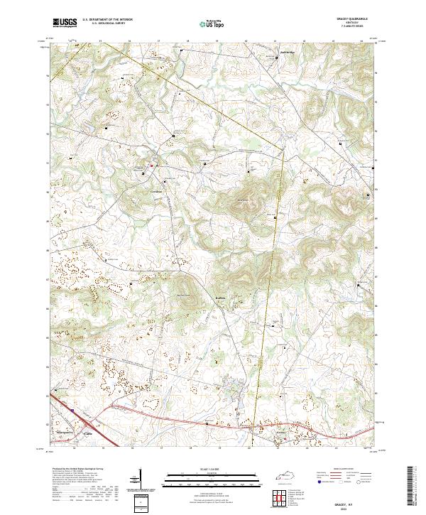
2022 Map of Gracey
USGS Topo · Published 2022About this map
The Muddy Fork Little River snakes through this portion of Western Kentucky, defining a landscape marked by small agricultural hubs and numerous family burial grounds. High ground is found at Bule Knob and Buffalo Knob, while the surrounding terrain is punctuated by significant religious and community landmarks such as Cave Spring Baptist Church and its accompanying cemetery. The settlement pattern follows established corridors like Cerulean Rd, connecting rural centers like Cerulean and Bainbridge. Genealogists will find a high density of documented family plots, including the Goodwin Cem Number 2, Jeff Stewart Cem, and McCarroll Hill Cem. The southern edge of the map transitions toward Gracey and the outskirts of Cadiz, where the road network tightens along Hopkinsville Rd. This survey documents the persistent rural character and deep-rooted family geography of Christian and Trigg Counties.
Find a feature on this map
104 named features on this map. Tap any name to fly to it.
Don’t see what you’re looking for? This feature index may not catch every label — zoom into the map to look around manually.
Map Details
Editions of this 2022 Gracey Map
This is the sole edition of this map. No revisions or reprints were ever made.
Other maps of this area

1908 · Princeton
USGS Topo · 1:62,500

1909 · Dawson Springs
USGS Topo · 1:48,000

1910 · Princeton
USGS Topo · 1:62,500

1911 · Dawson Springs
USGS Topo · 1:62,500

1950 · Caledonia
USGS Topo · 1:24,000

1951 · Church Hill
USGS Topo · 1:24,000

1951 · Caledonia
USGS Topo · 1:24,000

1952 · Pleasant Green Hill
USGS Topo · 1:24,000

1953 · Dawson Springs SE
USGS Topo · 1:24,000

1953 · Gracey
USGS Topo · 1:24,000