
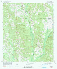
1968 Map of Grady
USGS Topo · Published 1971About this map
The Seaboard Coast Line railroad cuts through the center of this landscape, anchoring small settlements like Grady and Kent as it follows the drainage of Patsaliga Creek. This 1960s survey captures a rural landscape where three Alabama counties—Montgomery, Crenshaw, and Pike—converge. The terrain is marked by family-named landmarks and local sites of gathering, such as Mt Canaan Ch and Rockelyn Ch, and small crossroads like Helicon and Bradleyton. Numerous small ponds and water features, including Mays Pond, Trotter Pond, and Petrey Pond, are scattered across the creek-fed lowlands, reflecting a landscape defined by local agriculture and natural drainage. To the east, larger bodies of water like Sanders Lake and Menefee Lake sit near the county line, while features like Bogle Hole Cave hint at the unique subterranean geology of the region.
Find a feature on this map
38 named features on this map. Tap any name to fly to it.
Don’t see what you’re looking for? This feature index may not catch every label — zoom into the map to look around manually.
Map Details
Editions of this 1968 Grady Map
2 editions found
Other maps of this area

1953 · Montgomery
USGS Topo · 1:250,000

1953 · Andalusia
USGS Topo · 1:250,000

1956 · Montgomery
USGS Topo · 1:250,000

1957 · Montgomery
USGS Topo · 1:250,000

1957 · Andalusia
USGS Topo · 1:250,000

1957 · Letohatchee
USGS Topo · 1:62,500
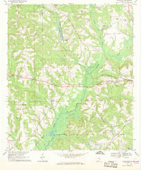
1968 · Youngblood
USGS Topo · 1:24,000
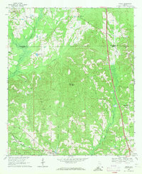
1968 · Ansley
USGS Topo · 1:24,000

1968 · Petrey
USGS Topo · 1:24,000

1971 · Fullers Crossroads
USGS Topo · 1:24,000