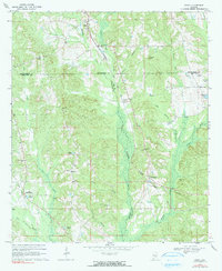
1968 Map of Grady
USGS Topo · Published 1991About this map
The confluence of Patsaliga Creek and Weaver Mill Creek anchors this rural Alabama landscape at the junction of Crenshaw, Montgomery, and Pike Counties. Small settlements and crossroads communities define the social geography of the late 1960s, including Grady, Helicon, and Shady Grove. The Seaboard Coast Line railroad cuts diagonally across the terrain, serving as a primary corridor through the creek bottoms and low hills like Collier Hill. Local history is preserved in the numerous country churches and family-named landmarks such as Mt Canaan Ch, Garner Cem, and Fannin Cem. The map also captures distinctive geographic features like Bogie Hole Cave and Flowing Well, alongside several agricultural ponds and lakes including Mays Pond and Sanders Lake, illustrating a landscape shaped by both natural drainage and local land management.
Find a feature on this map
43 named features on this map. Tap any name to fly to it.
Don’t see what you’re looking for? This feature index may not catch every label — zoom into the map to look around manually.
Map Details
Editions of this 1968 Grady Map
2 editions found
Other maps of this area

1953 · Montgomery
USGS Topo · 1:250,000

1953 · Andalusia
USGS Topo · 1:250,000

1956 · Montgomery
USGS Topo · 1:250,000

1957 · Montgomery
USGS Topo · 1:250,000

1957 · Andalusia
USGS Topo · 1:250,000

1957 · Letohatchee
USGS Topo · 1:62,500
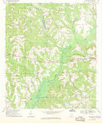
1968 · Youngblood
USGS Topo · 1:24,000
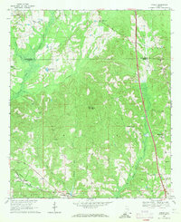
1968 · Ansley
USGS Topo · 1:24,000

1968 · Petrey
USGS Topo · 1:24,000

1968 · Grady
USGS Topo · 1:24,000