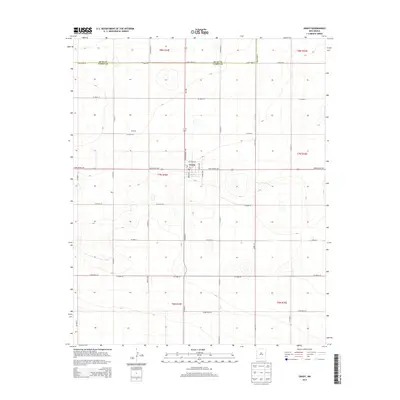
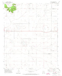
2013 Map of Grady
USGS Topo · Published 2013About this map
Grady serves as the primary hub of this High Plains landscape, where the intersection of State Route 209 and State Highway 469 anchors a small grid of streets including Broadway and McKinley St. A local Po marks the center of town, reflecting its role as a regional service point. The surrounding terrain is defined by the high-desert topography of the Llano Estacado, notably along the Quay Co Curry Co boundary line. Smaller named locales such as Delaney and Ware appear as points of interest along the established section line roads, illustrating the systematic rural development of the early 21st century. The map reveals a highly structured environment where gravel and paved roads, like Curry Road 36 and Quay Road 42, form a rigid network across the undulating plains.
Find a feature on this map
39 named features on this map. Tap any name to fly to it.
Don’t see what you’re looking for? This feature index may not catch every label — zoom into the map to look around manually.
Map Details
Editions of this 2013 Grady Map
This is the sole edition of this map. No revisions or reprints were ever made.
Other maps of this area

1954 · Clovis
USGS Topo · 1:250,000
1957 · Pleasant Hill
USGS Topo · 1:62,500
1957 · Hammond Ranch
USGS Topo · 1:62,500

1958 · Clovis
USGS Topo · 1:250,000
1971 · Day Canyon
USGS Topo · 1:24,000
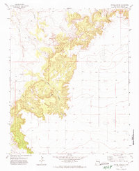
1971 · Apache Canyon
USGS Topo · 1:24,000
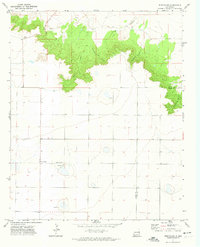
1971 · Wheatland
USGS Topo · 1:24,000
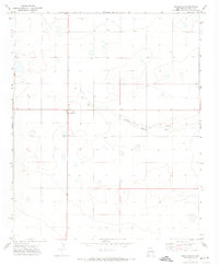
1971 · Broadview
USGS Topo · 1:24,000
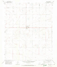
1971 · Grady
USGS Topo · 1:24,000
1971 · Grady SW
USGS Topo · 1:24,000