2023 Map of Grady
USGS Topo · Published 2023About this map
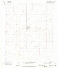
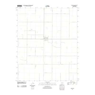
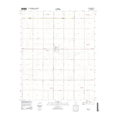
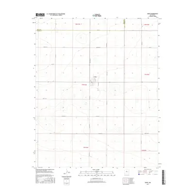
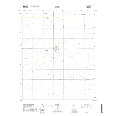
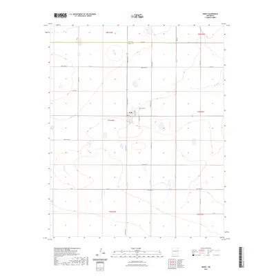
Grady serves as the focal point of this high-plains landscape, situated near the northern edge of Curry County. The settlement is defined by a modest grid including Barton Ave and Hardie Ave, surrounded by an extensive network of rural section-line roads such as Curry Road Q and Curry Road P. This 2023 survey illustrates the enduring agricultural character of the region, where the land is partitioned into township and range blocks like t7n r34e and t8n r34e. North of the town center, the Grady Cem stands as a significant site for local genealogical research. The map also delineates the boundary with Quay County, showing how the local infrastructure, including Curry Road 41, navigates the transition between jurisdictions. The presence of numerous small depressions and basins across the terrain suggests the subtle, internally-draining hydrology typical of the Llano Estacado.
Find a feature on this map
32 named features on this map. Tap any name to fly to it.
Don’t see what you’re looking for? This feature index may not catch every label — zoom into the map to look around manually.
Map Details
Editions of this 2023 Grady Map
This is the sole edition of this map. No revisions or reprints were ever made.
Historical Maps of Grady Through Time
6 maps found