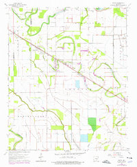
1964 Map of Grady
USGS Topo · Published 1976About this map
The Missouri Pacific railroad corridor anchors the agricultural landscape of this delta region, cutting diagonally through the town of Grady and past the Shannon Tank siding. This area, divided between the Jefferson and Lincoln County line, is defined by an intricate network of watercourses and irrigation features, including Deep Bayou, Wagon Bayou, and Panther Slough. A significant portion of the eastern territory is dedicated to the State Prison Farm, reflecting the large-scale institutional land use characteristic of this part of Arkansas.
Find a feature on this map
33 named features on this map. Tap any name to fly to it.
Don’t see what you’re looking for? This feature index may not catch every label — zoom into the map to look around manually.
Map Details
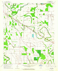
Editions of this 1964 Grady Map
2 editions found
Other maps of this area

1935 · Feenyville
USGS Topo · 1:62,500

1935 · Varner
USGS Topo · 1:62,500

1935 · Noble Lake
USGS Topo · 1:62,500

1935 · Rotan
USGS Topo · 1:62,500

1948 · Helena
USGS Topo · 1:250,000

1950 · Helena
USGS Topo · 1:250,000

1953 · Greenwood
USGS Topo · 1:250,000

1955 · Helena
USGS Topo · 1:250,000

1956 · Greenwood
USGS Topo · 1:250,000

1959 · Helena
USGS Topo · 1:250,000