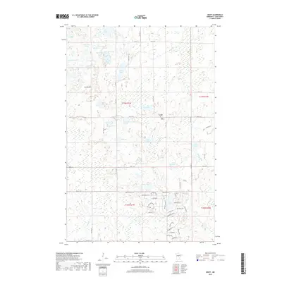
2019 Map of Graff
USGS Topo · Published 2019About this map
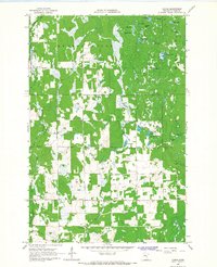
Graff stands as a quiet focal point within this 2019 survey of Cass County, Minnesota, situated in a landscape dominated by a dense network of glacial water bodies and wetlands. The settlement is anchored by the Moose Lake Cem, while the surrounding terrain is defined by an intricate drainage system including Mayo Cr, Stony Brook, and Mosquito Cr. A clear transition in land use is evident between the northern lake-heavy sections, featuring names like Rock Lake and Moose Lake, and the more structured residential developments to the south. This southern portion of the quadrangle shows significant modern road development, with neighborhoods organized around loops and named ways such as Iroquois Loop Trl and Mohawk Trl. Notable landmarks like Alem Meadow and Meadow Pass highlight the varying topography that separates these many basins, including the curious Section Thirtysix Lake.
Find a feature on this map
58 named features on this map. Tap any name to fly to it.
Don’t see what you’re looking for? This feature index may not catch every label — zoom into the map to look around manually.
Map Details
Editions of this 2019 Graff Map
This is the sole edition of this map. No revisions or reprints were ever made.
Other maps of this area
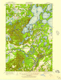
1916 · Pillager
USGS Topo · 1:62,500
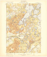
1919 · Pillager
USGS Topo · 1:62,500
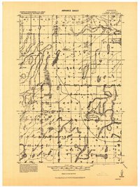
1919 · Leader
USGS Topo · 1:62,500

1953 · Brainerd
USGS Topo · 1:250,000

1957 · Brainerd
USGS Topo · 1:250,000
1958 · Brainerd
USGS Topo · 1:250,000
1959 · Pine River
USGS Topo · 1:24,000
1959 · Pine River SW
USGS Topo · 1:24,000
1965 · Brainerd
USGS Topo · 1:250,000
1966 · Casino
USGS Topo · 1:24,000