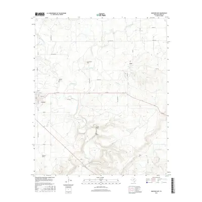
2016 Map of Graford East
USGS Topo · Published 2016About this map
The town of Graford sits on the western edge of this landscape, serving as a hub for the surrounding ranchlands and rural corridors. The terrain is defined by the winding course of Keechi Creek and its many tributaries, including the E Fork Keechi Cr and W Fork Keechi Cr, which carve through the limestone-rich topography of North Central Texas. To the north, the settlement of Oran provides a historic point of reference near the headwaters of Salt Br.
Find a feature on this map
48 named features on this map. Tap any name to fly to it.
Don’t see what you’re looking for? This feature index may not catch every label — zoom into the map to look around manually.
Map Details
Editions of this 2016 Graford East Map
This is the sole edition of this map. No revisions or reprints were ever made.
Other maps of this area
1891 · Palo Pinto
USGS Topo · 1:125,000
1918 · Palo Pinto
USGS Topo · 1:125,000
1924 · Palo Pinto 2-a
USGS Topo · 1:48,000
1924 · Palo Pinto 1-b
USGS Topo · 1:48,000
1927 · Pickwick
USGS Topo · 1:62,500
1927 · Mineral Wells
USGS Topo · 1:62,500
1954 · Abilene
USGS Topo · 1:250,000
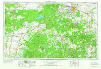
1954 · Wichita Falls
USGS Topo · 1:250,000
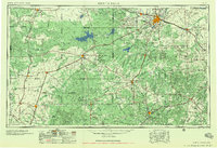
1958 · Wichita Falls
USGS Topo · 1:250,000
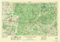
1958 · Abilene
USGS Topo · 1:250,000