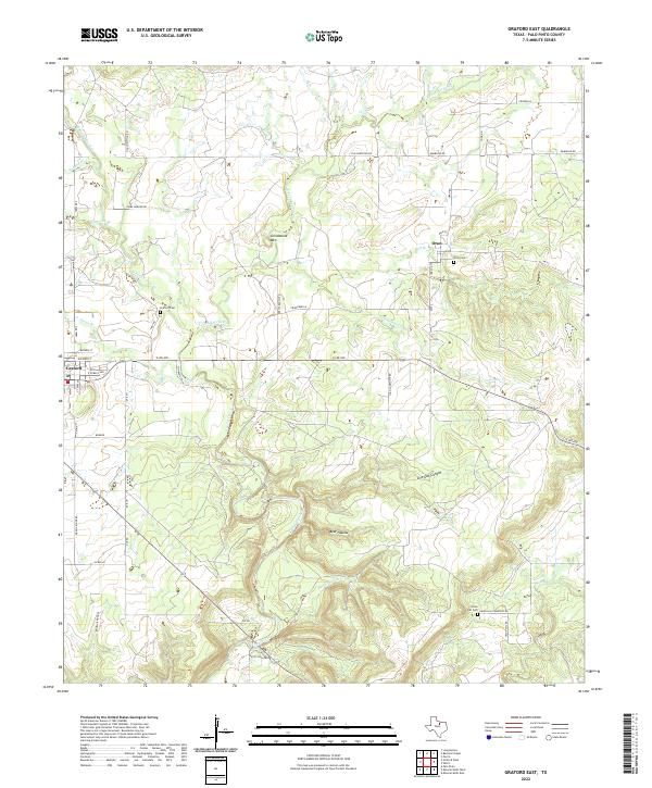
2022 Map of Graford East
USGS Topo · Published 2022About this map
Graford and the smaller settlement of Oran anchor this portion of Palo Pinto County, where the terrain is defined by a complex network of waterways feeding into Keechi Creek. The landscape transitions from the residential blocks of Graford to more isolated canyons and draws, most notably Live Oak Canyon and Bear Hollow. Local heritage is preserved in several rural burial grounds, including Graford Cem, Oran Cem, and the more remote Union Hill Cem to the southeast. Transport across these broken lands relies on a grid of county roads like Old Christian Rd and High Lonesome Rd, which navigate around prominent landmarks such as Grindstone Mtn. The numerous named branches, such as Flatrock Br and Soda Springs Cr, suggest a land shaped by seasonal water flow and ranching history.
Find a feature on this map
51 named features on this map. Tap any name to fly to it.
Don’t see what you’re looking for? This feature index may not catch every label — zoom into the map to look around manually.
Map Details
Editions of this 2022 Graford East Map
This is the sole edition of this map. No revisions or reprints were ever made.
Other maps of this area

1891 · Palo Pinto
USGS Topo · 1:125,000

1918 · Palo Pinto
USGS Topo · 1:125,000

1924 · Palo Pinto 2-a
USGS Topo · 1:48,000

1924 · Palo Pinto 1-b
USGS Topo · 1:48,000

1927 · Pickwick
USGS Topo · 1:62,500

1927 · Mineral Wells
USGS Topo · 1:62,500

1954 · Abilene
USGS Topo · 1:250,000

1954 · Wichita Falls
USGS Topo · 1:250,000

1958 · Wichita Falls
USGS Topo · 1:250,000

1958 · Abilene
USGS Topo · 1:250,000