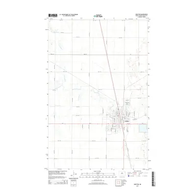
2014 Map of Grafton
USGS Topo · Published 2014About this map
Grafton serves as the focal point of this Walsh County survey, situated where the various branches of the Park River converge. The landscape is defined by the three primary tributaries—the N Br Park River, Middle Br Park River, and S Br Park River—which snake across the plains toward their confluence near the town center. This hydrological network dictated the local street grid and early settlement patterns, as seen in the clustered development along Commerce St and Detweiler Dr. To the east of the primary residential area lies Saint Johns Cem, providing a point of interest for genealogists tracking local families. The surrounding territory is partitioned by a precise grid of rural roads, including ND-17 and several county routes like CR-9, which facilitate movement across this agricultural corridor.
Find a feature on this map
58 named features on this map. Tap any name to fly to it.
Don’t see what you’re looking for? This feature index may not catch every label — zoom into the map to look around manually.
Map Details
Editions of this 2014 Grafton Map
This is the sole edition of this map. No revisions or reprints were ever made.
Other maps of this area
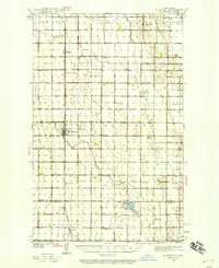
1939 · Glasston
USGS Topo · 1:62,500
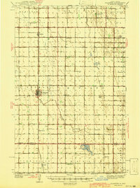
1941 · Glasston
USGS Topo · 1:62,500
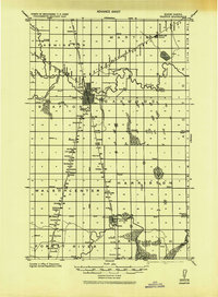
1943 · Grafton
USGS Topo · 1:62,500
1944 · Crystal
USGS Topo · 1:62,500
1952 · Thief River Falls
USGS Topo · 1:250,000
1956 · Thief River Falls
USGS Topo · 1:250,000
1957 · Thief River Falls
USGS Topo · 1:250,000
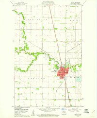
1960 · Grafton
USGS Topo · 1:24,000
1960 · Oakwood
USGS Topo · 1:24,000
1963 · Crystal SE
USGS Topo · 1:24,000