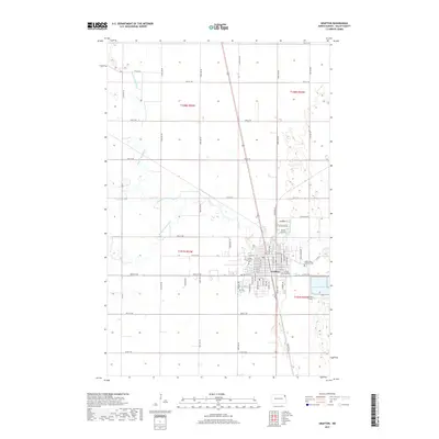
2017 Map of Grafton
USGS Topo · Published 2017About this map
Grafton serves as the focal point of this Walsh County landscape, situated where the three branches of the Park River system converge. The town's grid is well-established, reaching from the local aviation hub at Hutson Field toward the eastern residential limits. For genealogists, the map is particularly valuable as it precisely locates three distinct burial grounds serving the community: the Grafton City Cem, the Grafton Lutheran Cem, and the Saint Johns Catholic Cem.
Find a feature on this map
42 named features on this map. Tap any name to fly to it.
Don’t see what you’re looking for? This feature index may not catch every label — zoom into the map to look around manually.
Map Details
Editions of this 2017 Grafton Map
This is the sole edition of this map. No revisions or reprints were ever made.
Other maps of this area
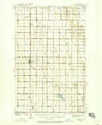
1939 · Glasston
USGS Topo · 1:62,500
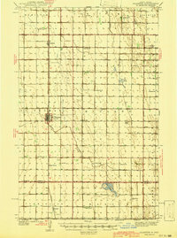
1941 · Glasston
USGS Topo · 1:62,500
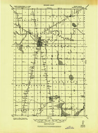
1943 · Grafton
USGS Topo · 1:62,500
1944 · Crystal
USGS Topo · 1:62,500
1952 · Thief River Falls
USGS Topo · 1:250,000
1956 · Thief River Falls
USGS Topo · 1:250,000
1957 · Thief River Falls
USGS Topo · 1:250,000
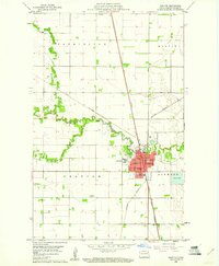
1960 · Grafton
USGS Topo · 1:24,000
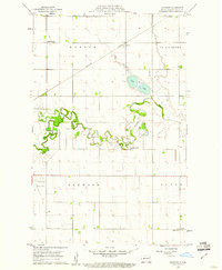
1960 · Oakwood
USGS Topo · 1:24,000
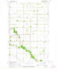
1963 · Crystal SE
USGS Topo · 1:24,000