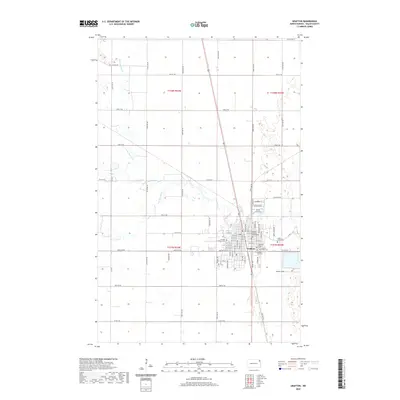
2020 Map of Grafton
USGS Topo · Published 2020About this map
The town of Grafton serves as the focal point for this Walsh County survey, where the convergence of several river branches shapes the local landscape. The N Br Park River, Middle Br Park River, and S Br Park River all meander through the surrounding agricultural sections before joining the main Park River east of the city center. This network of waterways historically influenced the settlement's layout, which is anchored by the Walsh County Courthouse.
Find a feature on this map
46 named features on this map. Tap any name to fly to it.
Don’t see what you’re looking for? This feature index may not catch every label — zoom into the map to look around manually.
Map Details
Editions of this 2020 Grafton Map
This is the sole edition of this map. No revisions or reprints were ever made.
Other maps of this area

1939 · Glasston
USGS Topo · 1:62,500

1941 · Glasston
USGS Topo · 1:62,500

1943 · Grafton
USGS Topo · 1:62,500

1944 · Crystal
USGS Topo · 1:62,500

1952 · Thief River Falls
USGS Topo · 1:250,000

1956 · Thief River Falls
USGS Topo · 1:250,000

1957 · Thief River Falls
USGS Topo · 1:250,000

1960 · Grafton
USGS Topo · 1:24,000
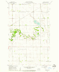
1960 · Oakwood
USGS Topo · 1:24,000

1963 · Crystal SE
USGS Topo · 1:24,000