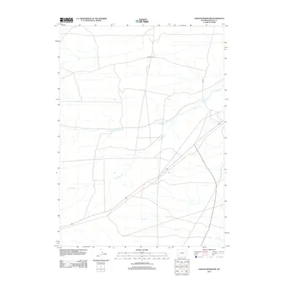
2012 Map of Graham Reservoir
USGS Topo · Published 2012About this map
The Emigrant Trl cuts across the high desert of Lincoln County, tracing a historic path of westward expansion through this arid landscape. This 2012 survey reveals a terrain defined primarily by its water resources and sparse infrastructure. The eponymous Graham Reservoir serves as a central landmark in a region where seasonal drainage is managed via Slate Cr and the S Fork Slate Cr. To the south, the system of Shute Cr further illustrates the hydrological patterns of the area. Modern access is represented by routes like Cord-310, showing how contemporary transit intersects with the legacy routes of the mid-19th century.
Find a feature on this map
6 named features on this map. Tap any name to fly to it.
Don’t see what you’re looking for? This feature index may not catch every label — zoom into the map to look around manually.
Map Details
Editions of this 2012 Graham Reservoir Map
This is the sole edition of this map. No revisions or reprints were ever made.
Other maps of this area

1945 · Fort Hill
USGS Topo · 1:62,500

1947 · Fort Hill
USGS Topo · 1:62,500

1954 · Ogden
USGS Topo · 1:250,000

1955 · Preston
USGS Topo · 1:250,000

1958 · Ogden
USGS Topo · 1:250,000

1958 · Preston
USGS Topo · 1:250,000

1960 · Ogden
USGS Topo · 1:250,000

1962 · Preston
USGS Topo · 1:250,000

1968 · Fontenelle Reservoir SW
USGS Topo · 1:24,000

1969 · Willow Springs
USGS Topo · 1:24,000