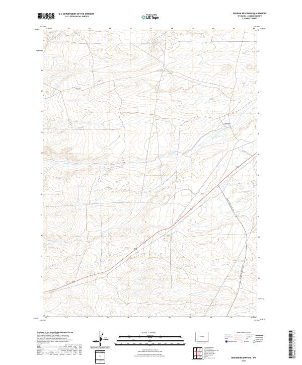
2021 Map of Graham Reservoir
USGS Topo · Published 2021About this map
Slate Cr and its tributaries carve through this high desert terrain in western Wyoming, where the landscape is defined by traditional water management and rural access. Central to the area is Graham Reservoir, a vital water resource fed by the surrounding drainage system. The network of seasonal waterways, including S Fork Slate Cr and Shute Cr, illustrates the hydrological challenges of the region. Overland travel follows established routes such as Slate Creek Trl, which mirrors the natural course of the water. Modern infrastructure like Shute Creek Co Rd 340 and Graham Ln provides connectivity across the township boundaries of t23n r114w and t23n r113w, showing how ranching and resource management have shaped the contemporary use of this Lincoln County land.
Find a feature on this map
12 named features on this map. Tap any name to fly to it.
Don’t see what you’re looking for? This feature index may not catch every label — zoom into the map to look around manually.
Map Details
Editions of this 2021 Graham Reservoir Map
This is the sole edition of this map. No revisions or reprints were ever made.
Other maps of this area

1945 · Fort Hill
USGS Topo · 1:62,500

1947 · Fort Hill
USGS Topo · 1:62,500

1954 · Ogden
USGS Topo · 1:250,000

1955 · Preston
USGS Topo · 1:250,000

1958 · Ogden
USGS Topo · 1:250,000

1958 · Preston
USGS Topo · 1:250,000

1960 · Ogden
USGS Topo · 1:250,000

1962 · Preston
USGS Topo · 1:250,000

1968 · Fontenelle Reservoir SW
USGS Topo · 1:24,000

1969 · Willow Springs
USGS Topo · 1:24,000