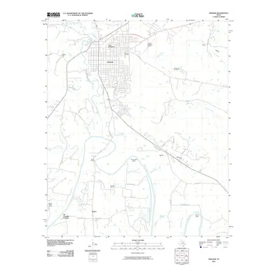
2010 Map of Graham
USGS Topo · Published 2010About this map
Graham serves as the central hub of this North Texas landscape, where the confluence of several waterways defines the local geography. The winding Brazos River creates dramatic loops in the south, including Gooseneck Bend and Herron Bend, while Salt Creek and Dry Creek drain the north. This 2010 topographic record provides significant value for local historians and genealogists, documenting the location of Pioneer Cemetery near the city center, alongside rural burial grounds like Farmer Cemetery and Gooseneck Cemetery.
Find a feature on this map
53 named features on this map. Tap any name to fly to it.
Don’t see what you’re looking for? This feature index may not catch every label — zoom into the map to look around manually.
Map Details
Editions of this 2010 Graham Map
This is the sole edition of this map. No revisions or reprints were ever made.
Other maps of this area

1890 · Breckenridge
USGS Topo · 1:125,000

1891 · Palo Pinto
USGS Topo · 1:125,000

1918 · Palo Pinto
USGS Topo · 1:125,000

1924 · Breckenridge 1-a
USGS Topo · 1:48,000

1924 · Palo Pinto 2-b
USGS Topo · 1:48,000

1924 · Graham 4-d
USGS Topo · 1:48,000

1925 · Graham 4-c
USGS Topo · 1:48,000

1925 · Breckenridge 1-b
USGS Topo · 1:48,000

1927 · Graham
USGS Topo · 1:62,500

1927 · Pickwick
USGS Topo · 1:62,500