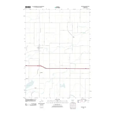
2010 Map of Granada
USGS Topo · Published 2010About this map
Granada serves as the primary settlement in this part of Martin County, anchored by the Granada Post Office and a grid of residential streets like W Creamery St. The landscape is defined by an extensive network of managed waterways, including Judicial Ditch Number One and Judicial Ditch Number Seventy, which illustrate the complex drainage systems required for the region's agricultural productivity. To the south, the smaller settlement of Imogene sits near the shores of Lake Imogene, where the Flying Goose Campgrounds provide a recreational contrast to the surrounding farm tracts. Genealogical interests are served by the presence of Center Creek Cemetery and Rose Lake Cemetery, while the winding paths of Center Creek and South Creek offer a natural counterpoint to the rigid section lines and county highways that organize the territory.
Find a feature on this map
47 named features on this map. Tap any name to fly to it.
Don’t see what you’re looking for? This feature index may not catch every label — zoom into the map to look around manually.
Map Details
Editions of this 2010 Granada Map
This is the sole edition of this map. No revisions or reprints were ever made.
Other maps of this area

1954 · Fairmont
USGS Topo · 1:250,000

1958 · Fairmont
USGS Topo · 1:250,000

1967 · Truman
USGS Topo · 1:24,000

1967 · Pilot Grove
USGS Topo · 1:24,000

1967 · East Chain
USGS Topo · 1:24,000

1967 · Wilmert Lake
USGS Topo · 1:24,000

1967 · Truman SE
USGS Topo · 1:24,000

1967 · Winnebago
USGS Topo · 1:24,000

1967 · Granada
USGS Topo · 1:24,000

1967 · Huntley
USGS Topo · 1:24,000