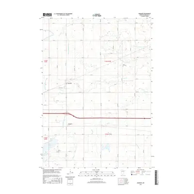
2016 Map of Granada
USGS Topo · Published 2016About this map
The settlement of Granada serves as the focal point of this Southern Minnesota agricultural landscape, situated at the intersection of local routes like W Creamery St and Co Hwy 32. The map reveals a highly engineered water management system essential for local farming, defined by an extensive network of drainage features including Judicial Ditch Number Eight, Judicial Ditch Number Three, and Judicial Ditch Number Twentyeight. These channels weave between natural water bodies such as Lake Imogene and Little Hall Lake. For those researching family history in the area, the map precisely locates Center Creek Cem and Rose Lake Cem. The presence of the community of Imogene further south highlights the area's rural development pattern, where small settlements were positioned to support the surrounding prairie township's productivity.
Find a feature on this map
38 named features on this map. Tap any name to fly to it.
Don’t see what you’re looking for? This feature index may not catch every label — zoom into the map to look around manually.
Map Details
Editions of this 2016 Granada Map
This is the sole edition of this map. No revisions or reprints were ever made.
Other maps of this area
1954 · Fairmont
USGS Topo · 1:250,000
1958 · Fairmont
USGS Topo · 1:250,000
1967 · Truman
USGS Topo · 1:24,000
1967 · Pilot Grove
USGS Topo · 1:24,000
1967 · East Chain
USGS Topo · 1:24,000
1967 · Wilmert Lake
USGS Topo · 1:24,000
1967 · Truman SE
USGS Topo · 1:24,000
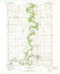
1967 · Winnebago
USGS Topo · 1:24,000
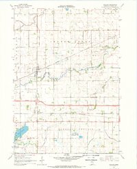
1967 · Granada
USGS Topo · 1:24,000
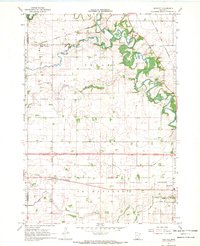
1967 · Huntley
USGS Topo · 1:24,000