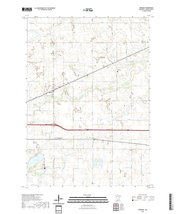
2022 Map of Granada
USGS Topo · Published 2022About this map
Granada sits as a central hub within this Martin County landscape, characterized by an extensive network of engineered waterways that define the region's agricultural character. The map documents a complex system of drainage infrastructure, including Judicial Ditch Number Eight, Judicial Ditch Number Twenty-eight, and Judicial Ditch Number Seventy, which weave between natural features like Center Cr and Little Badger Cr. This intersection of natural hydrology and human-made ditches illustrates the intensive land management required in southern Minnesota.
Find a feature on this map
39 named features on this map. Tap any name to fly to it.
Don’t see what you’re looking for? This feature index may not catch every label — zoom into the map to look around manually.
Map Details
Editions of this 2022 Granada Map
This is the sole edition of this map. No revisions or reprints were ever made.
Other maps of this area

1954 · Fairmont
USGS Topo · 1:250,000

1958 · Fairmont
USGS Topo · 1:250,000

1967 · Truman
USGS Topo · 1:24,000

1967 · Pilot Grove
USGS Topo · 1:24,000

1967 · East Chain
USGS Topo · 1:24,000

1967 · Wilmert Lake
USGS Topo · 1:24,000

1967 · Truman SE
USGS Topo · 1:24,000

1967 · Winnebago
USGS Topo · 1:24,000

1967 · Granada
USGS Topo · 1:24,000

1967 · Huntley
USGS Topo · 1:24,000