
1955 Map of Granada NE
USGS Topo · Published 1956About this map
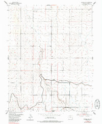
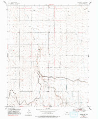
Bristol stands as the primary hub in this mid-century survey of Prowers County, situated along the southern edge where the prairie meets the engineered irrigation of the Arkansas River valley. The landscape is defined by the vital water management systems necessary for High Plains agriculture, most notably the Amity Canal and a supporting Levee system. Local history is anchored at the Sunnyslope Cemetery near the town site, while the wider terrain is marked by dozens of scattered Windmills, highlighting the reliance on groundwater for ranching and homesteading. The southern portion of the quadrangle shows the heavy infrastructure of the Atchison Topeka and Santa Fe railroad, which parallels the canal. Natural drainage is represented by the winding paths of Buffalo Creek, Boggs Creek, and the curiously named Deadman Spoil Bank Ditch, illustrating how the natural topography was adapted for drainage and irrigation during this era of agricultural expansion.
Find a feature on this map
14 named features on this map. Tap any name to fly to it.
Don’t see what you’re looking for? This feature index may not catch every label — zoom into the map to look around manually.
Map Details
Editions of this 1955 Granada NE Map
3 editions found
Other maps of this area

1890 · Granada
USGS Topo · 1:125,000

1892 · Granada
USGS Topo · 1:125,000

1894 · Granada
USGS Topo · 1:125,000

1952 · Carlton
USGS Topo · 1:24,000

1953 · Holly West
USGS Topo · 1:24,000

1953 · Granada
USGS Topo · 1:24,000

1954 · Lamar
USGS Topo · 1:250,000

1955 · Granada NW
USGS Topo · 1:24,000
1955 · Holly NW
USGS Topo · 1:24,000

1958 · Lamar
USGS Topo · 1:250,000