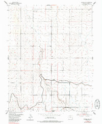
1955 Map of Granada NE
USGS Topo · Published 1985About this map
Bristol serves as the primary settlement anchor in this 1955 survey of Prowers County, situated along the southern edge of the map. The landscape is defined by an intricate system of water management essential to High Plains agriculture, most notably the Amity Canal and the Deadman Spoil Bank Ditch. These man-made features work in tandem with natural drainages like Buffalo Creek and Buggs Creek to navigate the arid terrain.
Find a feature on this map
13 named features on this map. Tap any name to fly to it.
Don’t see what you’re looking for? This feature index may not catch every label — zoom into the map to look around manually.
Map Details
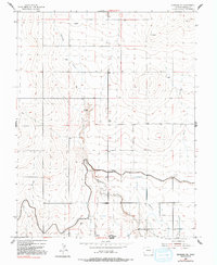
Editions of this 1955 Granada NE Map
3 editions found
Other maps of this area

1890 · Granada
USGS Topo · 1:125,000

1892 · Granada
USGS Topo · 1:125,000

1894 · Granada
USGS Topo · 1:125,000

1952 · Carlton
USGS Topo · 1:24,000

1953 · Holly West
USGS Topo · 1:24,000

1953 · Granada
USGS Topo · 1:24,000

1954 · Lamar
USGS Topo · 1:250,000

1955 · Granada NW
USGS Topo · 1:24,000

1955 · Granada NE
USGS Topo · 1:24,000
1955 · Holly NW
USGS Topo · 1:24,000