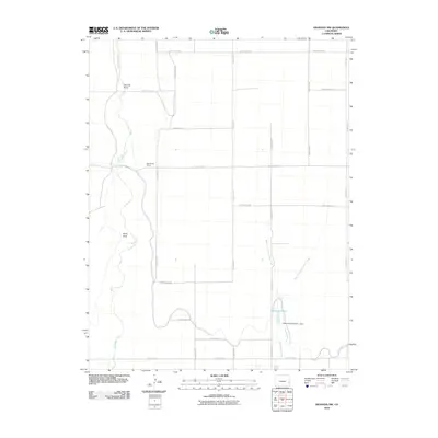
2010 Map of Granada NW
USGS Topo · Published 2010About this map
Big Sandy Creek defines the western landscape of this Prowers County region, winding past local landmarks like Tenmile Point and Stony Point. This 2010 survey illustrates a sparsely settled agricultural area characterized by a rigid grid of county roads, such as County Road SS and County Road LL, which organize the high plains terrain. Local education history is represented by the site of the Sand Creek School, positioned along County Rd 16. Water management is central to the area's utility, evidenced by the Amity Canal and the southern reaches of Cottonwood Creek, where the Wilson Reservoir is held by the Cottonwood Number 1 Dam. The convergence of the West Fork Cottonwood Creek and East Fork Cottonwood Creek further highlights the critical nature of drainage and irrigation in this part of eastern Colorado.
Find a feature on this map
27 named features on this map. Tap any name to fly to it.
Don’t see what you’re looking for? This feature index may not catch every label — zoom into the map to look around manually.
Map Details
Editions of this 2010 Granada NW Map
This is the sole edition of this map. No revisions or reprints were ever made.
Other maps of this area

1890 · Granada
USGS Topo · 1:125,000

1892 · Lamar
USGS Topo · 1:125,000

1892 · Granada
USGS Topo · 1:125,000

1894 · Granada
USGS Topo · 1:125,000

1952 · Carlton
USGS Topo · 1:24,000

1953 · Granada
USGS Topo · 1:24,000

1953 · Lamar East
USGS Topo · 1:24,000

1954 · Lamar
USGS Topo · 1:250,000

1955 · Granada NW
USGS Topo · 1:24,000

1955 · Granada NE
USGS Topo · 1:24,000