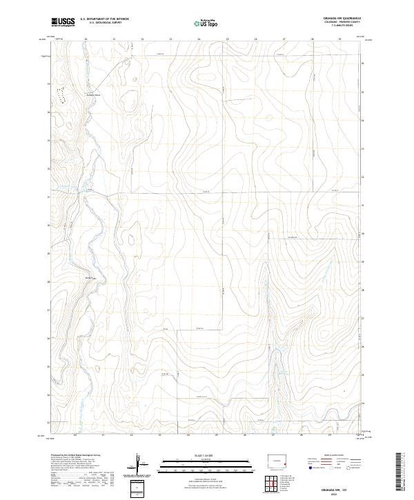
2022 Map of Granada NW
USGS Topo · Published 2022About this map
The high plains of Prowers County are defined by a network of drainage and irrigation infrastructure, where the Big Sandy Cr and the Cottonwood Cr system carve through the arid terrain. This landscape is a patchwork of section lines and irrigation engineering, featuring the prominent Comanche Canal and Amity Canal which divert vital water resources across the plains. Higher elevations are marked by distinct landforms such as Tenmile Point and Stony Point, providing rare vertical relief in this expansive agricultural corridor.
Find a feature on this map
31 named features on this map. Tap any name to fly to it.
Don’t see what you’re looking for? This feature index may not catch every label — zoom into the map to look around manually.
Map Details
Editions of this 2022 Granada NW Map
This is the sole edition of this map. No revisions or reprints were ever made.
Other maps of this area

1890 · Granada
USGS Topo · 1:125,000

1892 · Lamar
USGS Topo · 1:125,000

1892 · Granada
USGS Topo · 1:125,000

1894 · Granada
USGS Topo · 1:125,000

1952 · Carlton
USGS Topo · 1:24,000

1953 · Granada
USGS Topo · 1:24,000

1953 · Lamar East
USGS Topo · 1:24,000

1954 · Lamar
USGS Topo · 1:250,000

1955 · Granada NW
USGS Topo · 1:24,000

1955 · Granada NE
USGS Topo · 1:24,000