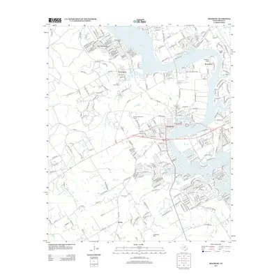
2013 Map of Granbury
USGS Topo · Published 2013About this map
Granbury serves as the focal point of this Hood County study, centered on the complex shoreline of Lake Granbury and the protected Hood County Courthouse Historic District. The landscape is a mix of dense residential growth and rugged relief, with Comanche Peak and Thompson Mtn rising above the surrounding Brazos River valley. The map documents the expansion of lakeside communities such as Oak Trail Shores and the smaller settlement of Brushy, while the area around Thorp Spring maintains its character with local landmarks like Thorp Spring Cem and Camp Klebit. For genealogists, the proximity of Granbury Cem and Brushy Cem to established watercourses like Strouds Cr and Rough Cr provides a clear spatial context for 21st-century property research and family history near the city's historic core.
Find a feature on this map
296 named features on this map. Tap any name to fly to it.
Don’t see what you’re looking for? This feature index may not catch every label — zoom into the map to look around manually.
Map Details
Editions of this 2013 Granbury Map
This is the sole edition of this map. No revisions or reprints were ever made.
Other maps of this area

1889 · Granbury
USGS Topo · 1:125,000

1891 · Weatherford
USGS Topo · 1:125,000

1893 · Weatherford
USGS Topo · 1:125,000

1923 · Granbury 2-a
USGS Topo · 1:48,000

1923 · Granbury 1-b
USGS Topo · 1:48,000

1924 · Weatherford 3-d
USGS Topo · 1:48,000

1924 · Granbury 1-c
USGS Topo · 1:48,000

1928 · Godley
USGS Topo · 1:62,500

1931 · Dennis
USGS Topo · 1:62,500

1931 · Tolar
USGS Topo · 1:62,500