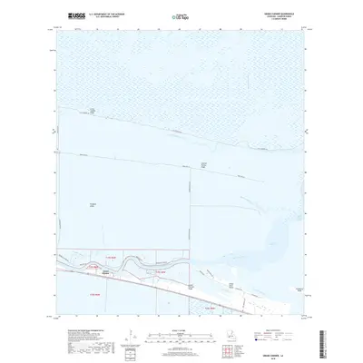
2018 Map of Grand Chenier
USGS Topo · Published 2018About this map
Grand Chenier Ridge and its neighboring elevated formations dominate this coastal landscape, where the settlement of Grand Chenier follows the winding course of the Mermentau River. These cheniers—ancient beach ridges of sand and shell—serve as the only high ground amidst a complex network of wetlands including Upper Mud Lake and Little Pecan Lake. The map illustrates a distinctive human geography where roads like Little Chenier Rd and Parish Rd 216 are constrained by the surrounding marsh, strictly adhering to the narrow ridges. Modern maritime infrastructure is evident in the Mermentau River Navigational Channel, reflecting the region's reliance on waterborne transport and drainage. From Pumpkin Ridge to Indian Point Island, the interplay between tidal bayous like Marseillaise Bayou and the ridges defines the limits of habitation in this Cameron Parish environment.
Find a feature on this map
34 named features on this map. Tap any name to fly to it.
Don’t see what you’re looking for? This feature index may not catch every label — zoom into the map to look around manually.
Map Details
Editions of this 2018 Grand Chenier Map
This is the sole edition of this map. No revisions or reprints were ever made.
Other maps of this area
1934 · Catfish Lake
USGS Topo · 1:24,000
1934 · Lake Misere
USGS Topo · 1:24,000
1934 · Boudreaux Lake
USGS Topo · 1:24,000
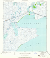
1934 · Latania Lake
USGS Topo · 1:24,000
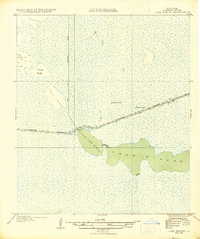
1935 · Lake Misere
USGS Topo · 1:31,680
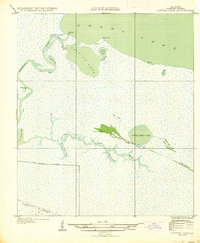
1935 · Catfish Lake
USGS Topo · 1:31,680
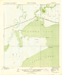
1935 · Latania Lake
USGS Topo · 1:31,680
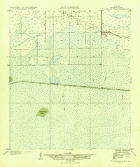
1935 · Boudreaux Lake
USGS Topo · 1:31,680
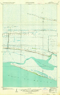
1935 · Bay Labauve
USGS Topo · 1:31,680
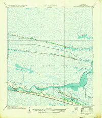
1935 · Grand Chenier
USGS Topo · 1:31,680