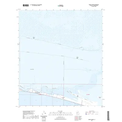
2020 Map of Grand Chenier
USGS Topo · Published 2020About this map
Grand Chenier Ridge and several parallel topographic highs dominate this coastal landscape, providing the only stable ground for settlements like Grand Chenier amidst the expansive wetlands of Cameron Parish. These ridges, or cheniers, represent ancient shorelines now stranded inland by deltaic processes, creating a unique pattern of linear habitation surrounded by marshes and water bodies such as Upper Mud Lake and Little Chenier Bayou. The southern edge of the map is defined by the Mermentau River and the engineered Mermentau River Navigational Channel, which facilitate waterborne transit through the region. Local infrastructure is confined to these elevated strips, with Little Chenier Rd and Parish Rd 216 following the crests of Little Chenier Ridge and Chenier Perdue Ridge respectively, illustrating how geological history dictates modern human geography in the Louisiana wetlands.
Find a feature on this map
33 named features on this map. Tap any name to fly to it.
Don’t see what you’re looking for? This feature index may not catch every label — zoom into the map to look around manually.
Map Details
Editions of this 2020 Grand Chenier Map
This is the sole edition of this map. No revisions or reprints were ever made.
Other maps of this area

1934 · Catfish Lake
USGS Topo · 1:24,000

1934 · Lake Misere
USGS Topo · 1:24,000

1934 · Boudreaux Lake
USGS Topo · 1:24,000

1934 · Latania Lake
USGS Topo · 1:24,000

1935 · Lake Misere
USGS Topo · 1:31,680

1935 · Catfish Lake
USGS Topo · 1:31,680

1935 · Latania Lake
USGS Topo · 1:31,680

1935 · Boudreaux Lake
USGS Topo · 1:31,680

1935 · Bay Labauve
USGS Topo · 1:31,680

1935 · Grand Chenier
USGS Topo · 1:31,680