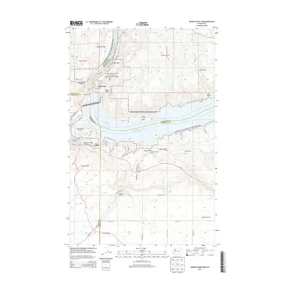
2014 Map of Grand Coulee Dam
USGS Topo · Published 2014About this map
The Grand Coulee Dam dominates this landscape, anchoring a complex geography where the borders of Douglas, Okanogan, Grant, and Lincoln counties meet. Established communities like Grand Coulee, Coulee Dam, and Mason City cluster near the dam's massive structure, reflecting the region's mid-20th-century development as a center for hydroelectric power and irrigation. The impounded waters of the Columbia River form the expansive Franklin D Roosevelt Lake, which is surrounded by the Lake Roosevelt National Recreation Area.
Find a feature on this map
73 named features on this map. Tap any name to fly to it.
Don’t see what you’re looking for? This feature index may not catch every label — zoom into the map to look around manually.
Map Details
Editions of this 2014 Grand Coulee Dam Map
This is the sole edition of this map. No revisions or reprints were ever made.
Other maps of this area

1948 · Grand Coulee Dam
USGS Topo · 1:62,500

1950 · Grand Coulee Dam
USGS Topo · 1:62,500

1950 · Nespelem
USGS Topo · 1:62,500

1950 · Alameda Flat
USGS Topo · 1:62,500

1952 · Alameda Flat
USGS Topo · 1:62,500

1953 · Ritzville
USGS Topo · 1:250,000

1954 · Okanogan
USGS Topo · 1:250,000

1958 · Okanogan
USGS Topo · 1:250,000

1959 · Ritzville
USGS Topo · 1:250,000

1965 · Ritzville
USGS Topo · 1:250,000