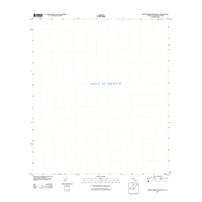
2012 Map of Grand Gosier Islands OE E
USGS Topo · Published 2012About this map
The Gulf of Mexico dominates this specific coastal quadrangle in Plaquemines Parish, representing a maritime expanse where open water meets the atmospheric and hydrographic shifts of the Louisiana shoreline. While the map designates this as part of the Grand Gosier Islands vicinity, the absence of landmass on this particular sheet illustrates the dynamic and often submerged nature of the outer barrier island system. Produced by the U.S. Geological Survey using imagery from 2010, the map serves as a geographic baseline for this offshore sector, documenting a moment in time before further shifts in coastal bathymetry or shoreline retreat altered the local coordinates.
Find a feature on this map
1 named feature on this map. Tap any name to fly to it.
Don’t see what you’re looking for? This feature index may not catch every label — zoom into the map to look around manually.
Map Details
Editions of this 2012 Grand Gosier Islands OE E Map
This is the sole edition of this map. No revisions or reprints were ever made.
Other maps of this area
1951 · Stake Islands
USGS Topo · 1:24,000
1951 · Grand Gosier Islands
USGS Topo · 1:24,000

1953 · Breton Island
USGS Topo · 1:62,500

1957 · Breton Sound
USGS Topo · 1:250,000
1958 · Breton Island
USGS Topo · 1:62,500

1961 · Breton Sound
USGS Topo · 1:250,000

1982 · North Islands
USGS Topo · 1:100,000
1983 · Black Bay
USGS Topo · 1:100,000
1983 · Mississippi River Delta
USGS Topo · 1:100,000
1998 · Grand Gosier Islands
USGS Topo · 1:24,000