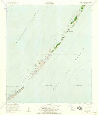
1951 Map of Stake Islands
USGS Topo · Published 1958About this map
Stake Islands and the surrounding barrier chains of the Chandeleur National Wildlife Refuge appear here as they were charted in the early 1950s. This survey, conducted by the Coast and Geodetic Survey, documents the ephemeral nature of the Louisiana coastline where Chandeleur Sound meets the Gulf of Mexico. The map details a string of vulnerable landforms including the Palos Islands, Boot Island, and the Breton Islands, interspersed with hazards like Conocka Shoal.
Find a feature on this map
11 named features on this map. Tap any name to fly to it.
Don’t see what you’re looking for? This feature index may not catch every label — zoom into the map to look around manually.
Map Details
Editions of this 1951 Stake Islands Map
2 editions found

Other maps of this area
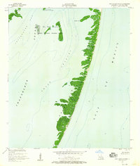
1951 · New Harbor Islands
USGS Topo · 1:24,000
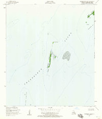
1951 · Freemason Island
USGS Topo · 1:24,000
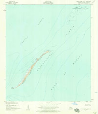
1951 · Grand Gosier Islands
USGS Topo · 1:24,000

1957 · Breton Sound
USGS Topo · 1:250,000

1961 · Breton Sound
USGS Topo · 1:250,000

1982 · North Islands
USGS Topo · 1:100,000

1998 · New Harbor Islands
USGS Topo · 1:24,000

1998 · Freemason Island
USGS Topo · 1:24,000

1998 · Grand Gosier Islands
USGS Topo · 1:24,000

2012 · Curlew Islands
USGS Topo · 1:24,000