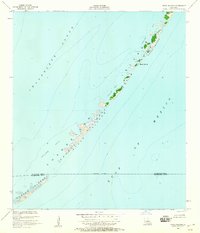
1951 Map of Stake Islands
USGS Topo · Published 1959About this map
Breton National Wildlife Refuge encompasses the fragile chain of the Chandeleur Islands as they appeared in the early 1950s. This survey, compiled from 1950 aerial photography and planetable field checks, captures the shifting geography of the Stake Islands and Curlew Islands before decades of coastal erosion further altered these barrier features. The map illustrates a landscape of narrow sandy strips and marshy outcrops like Boot Island separated by vast stretches of Chandeleur Sound and the Gulf of Mexico. An approximate boundary line marks the division between St. Bernard Parish and Plaquemines Parish as it cuts through the southern reaches of the island chain. This record provides a clear baseline for studying the geomorphology of the Louisiana coast during a period of relative island stability, documenting the extent of features like Conocka Shoal and the surrounding shallow flats.
Find a feature on this map
12 named features on this map. Tap any name to fly to it.
Don’t see what you’re looking for? This feature index may not catch every label — zoom into the map to look around manually.
Map Details
Editions of this 1951 Stake Islands Map
2 editions found
Other maps of this area

1951 · New Harbor Islands
USGS Topo · 1:24,000
1951 · Stake Islands
USGS Topo · 1:24,000
1951 · Freemason Island
USGS Topo · 1:24,000
1951 · Grand Gosier Islands
USGS Topo · 1:24,000

1957 · Breton Sound
USGS Topo · 1:250,000

1961 · Breton Sound
USGS Topo · 1:250,000

1982 · North Islands
USGS Topo · 1:100,000
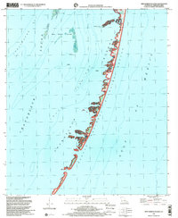
1998 · New Harbor Islands
USGS Topo · 1:24,000
1998 · Freemason Island
USGS Topo · 1:24,000
1998 · Grand Gosier Islands
USGS Topo · 1:24,000