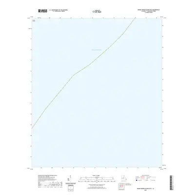
2020 Map of Grand Gosier Islands OE E
USGS Topo · Published 2020About this map
Curlew Islands sits at the northwestern edge of this maritime study, representing a tiny fragment of land in an expansive coastal environment. The vast majority of the map is dominated by the Gulf of Mexico, illustrating the shifting, vulnerable nature of the Louisiana barrier island chain. This 2020 edition provides a clear record of the shoreline position before subsequent storms and erosion altered the footprint of these barrier features. For those studying the environmental history of Plaquemines Parish, this map documents the precarious balance between land and sea in one of the most dynamic coastal regions of the United States.
Find a feature on this map
2 named features on this map. Tap any name to fly to it.
Don’t see what you’re looking for? This feature index may not catch every label — zoom into the map to look around manually.
Map Details
Editions of this 2020 Grand Gosier Islands OE E Map
This is the sole edition of this map. No revisions or reprints were ever made.
Other maps of this area
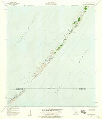
1951 · Stake Islands
USGS Topo · 1:24,000
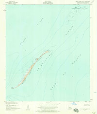
1951 · Grand Gosier Islands
USGS Topo · 1:24,000

1953 · Breton Island
USGS Topo · 1:62,500

1957 · Breton Sound
USGS Topo · 1:250,000
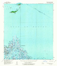
1958 · Breton Island
USGS Topo · 1:62,500

1961 · Breton Sound
USGS Topo · 1:250,000

1982 · North Islands
USGS Topo · 1:100,000
1983 · Black Bay
USGS Topo · 1:100,000
1983 · Mississippi River Delta
USGS Topo · 1:100,000
1998 · Grand Gosier Islands
USGS Topo · 1:24,000