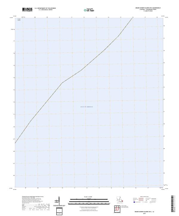
2025 Map of Grand Gosier Islands OE E
USGS Topo · Published 2025About this map
Curlew Islands and the expansive waters of the Gulf of America dominate this 2025 survey of the outer coastline of Plaquemines Parish. As a specialized map of the Louisiana barrier system, it captures a landscape defined almost entirely by its maritime environment rather than terrestrial development. The survey illustrates the precarious and shifting nature of these coastal landforms, providing a precise spatial record of the remaining island fragments. For those tracking the evolution of the Gulf Coast, this document serves as a critical data point for understanding the current state of these exposed features within the larger deltaic system.
Find a feature on this map
2 named features on this map. Tap any name to fly to it.
Don’t see what you’re looking for? This feature index may not catch every label — zoom into the map to look around manually.
Map Details
Editions of this 2025 Grand Gosier Islands OE E Map
This is the sole edition of this map. No revisions or reprints were ever made.
Other maps of this area
1951 · Stake Islands
USGS Topo · 1:24,000
1951 · Grand Gosier Islands
USGS Topo · 1:24,000

1953 · Breton Island
USGS Topo · 1:62,500

1957 · Breton Sound
USGS Topo · 1:250,000
1958 · Breton Island
USGS Topo · 1:62,500

1961 · Breton Sound
USGS Topo · 1:250,000

1982 · North Islands
USGS Topo · 1:100,000
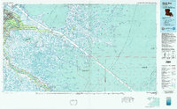
1983 · Black Bay
USGS Topo · 1:100,000
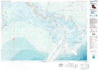
1983 · Mississippi River Delta
USGS Topo · 1:100,000
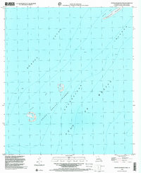
1998 · Grand Gosier Islands
USGS Topo · 1:24,000