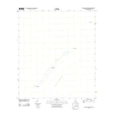
2012 Map of Grand Gosier Islands
USGS Topo · Published 2012About this map
Grand Gosier Islands and Gosier Island represent a dynamic and fragile barrier chain within the Gulf of Mexico, as recorded in this 2012 survey. These narrow ribbons of land in Plaquemines Parish illustrate the ever-shifting geography of the Louisiana coast, where land and water are in constant negotiation. The map provides a precise look at the shoreline configurations following several years of intense storm activity, which historically reshapes these barrier features. Beyond the visible land, the survey identifies submerged hazards and shallow reaches such as Myth Shoal and Errol Shoal. These shoals are critical indicators of the underlying geological structures that once supported larger landmasses, offering researchers a data point for studying coastal erosion and island migration in the Chandeleur Islands vicinity.
Find a feature on this map
5 named features on this map. Tap any name to fly to it.
Don’t see what you’re looking for? This feature index may not catch every label — zoom into the map to look around manually.
Map Details
Editions of this 2012 Grand Gosier Islands Map
This is the sole edition of this map. No revisions or reprints were ever made.
Other maps of this area
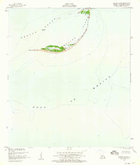
1950 · Breton Islands
USGS Topo · 1:24,000
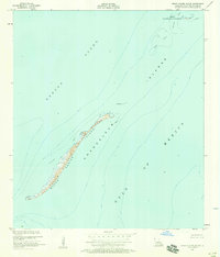
1951 · Grand Gosier Islands
USGS Topo · 1:24,000

1953 · Breton Island
USGS Topo · 1:62,500

1957 · Breton Sound
USGS Topo · 1:250,000
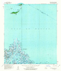
1958 · Breton Island
USGS Topo · 1:62,500

1961 · Breton Sound
USGS Topo · 1:250,000
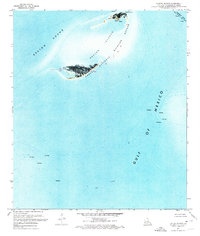
1971 · Breton Islands
USGS Topo · 1:24,000

1982 · North Islands
USGS Topo · 1:100,000
1983 · Black Bay
USGS Topo · 1:100,000
1983 · Mississippi River Delta
USGS Topo · 1:100,000