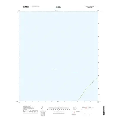
2020 Map of Grand Gosier Islands
USGS Topo · Published 2020About this map
Grand Gosier Islands and the surrounding waters of the Gulf of Mexico dominate this 2020 topographic study of the outermost coastal reaches of Plaquemines Parish. As an exceptionally feature-sparse maritime map, it documents the ephemeral nature of Louisiana's barrier island system where land and sea constantly shift. The survey reflects the contemporary shoreline of these remote islands, which serve as critical landmarks and nesting grounds in the open gulf. Without the presence of inland settlements, roads, or man-made structures, the map focuses entirely on the hydrography and the precise positioning of these low-lying landforms within the vast aquatic expanse.
Find a feature on this map
2 named features on this map. Tap any name to fly to it.
Don’t see what you’re looking for? This feature index may not catch every label — zoom into the map to look around manually.
Map Details
Editions of this 2020 Grand Gosier Islands Map
This is the sole edition of this map. No revisions or reprints were ever made.
Other maps of this area
1950 · Breton Islands
USGS Topo · 1:24,000
1951 · Grand Gosier Islands
USGS Topo · 1:24,000

1953 · Breton Island
USGS Topo · 1:62,500

1957 · Breton Sound
USGS Topo · 1:250,000
1958 · Breton Island
USGS Topo · 1:62,500

1961 · Breton Sound
USGS Topo · 1:250,000
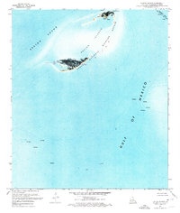
1971 · Breton Islands
USGS Topo · 1:24,000

1982 · North Islands
USGS Topo · 1:100,000
1983 · Black Bay
USGS Topo · 1:100,000
1983 · Mississippi River Delta
USGS Topo · 1:100,000