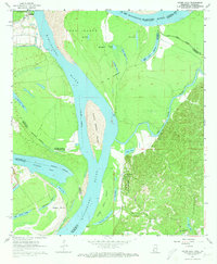
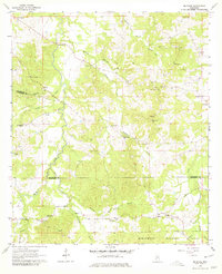
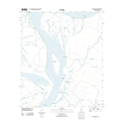
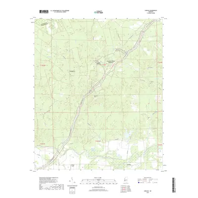
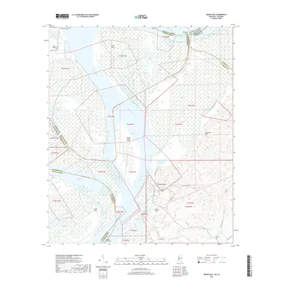
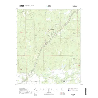
1963 Map of Grand Gulf
USGS Topo · Published 1973About this map
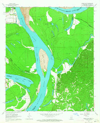
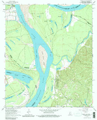
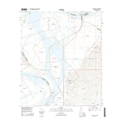
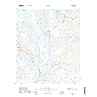
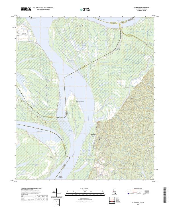
Grand Gulf Military Monument overlooks the dramatic bend of the Mississippi River, marking a site of significant Civil War importance where the bluffs met the water. In the early 1960s, the landscape around the settlement of Grand Gulf is defined by a complex network of oxbow lakes and shifting island masses, including Middle Ground Island and Togo Island, which highlight the river's historical volatility and the resulting indeterminate state boundaries. The eastern uplands are home to local congregations at Jerusalem Ch and Spring Hill Ch, connected by an old Railroad Grade that speaks to former transit corridors in Claiborne County. On the Louisiana side, the extensive curvature of Yucatan Lake and Dishroon Lake illustrates the legacy of river meanders, while the confluence of the Big Black River provides a distinct geographic anchor at the edge of the Mississippi Delta.
Find a feature on this map
33 named features on this map. Tap any name to fly to it.
Don’t see what you’re looking for? This feature index may not catch every label — zoom into the map to look around manually.
Map Details
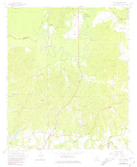
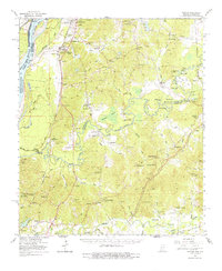
Editions of this 1963 Grand Gulf Map
3 editions found
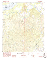
Historical Maps of Grand Gulf Through Time
32 maps found
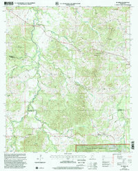
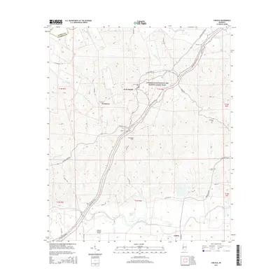
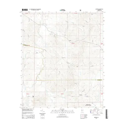
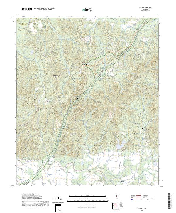
1963 Carlisle
Claiborne County, MS
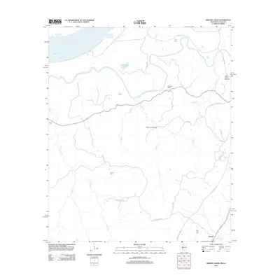
1963 Grand Gulf
Claiborne County, MS
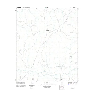
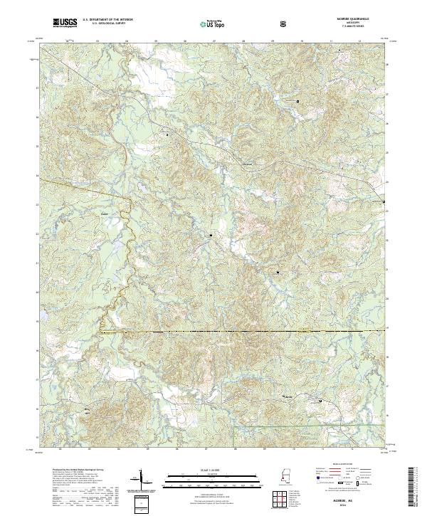
1963 McBride
Claiborne County, MS
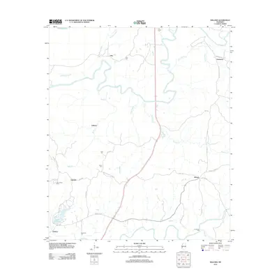
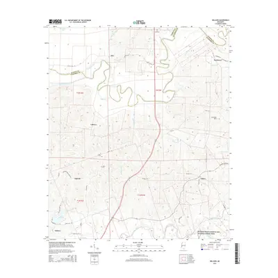
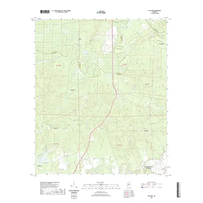
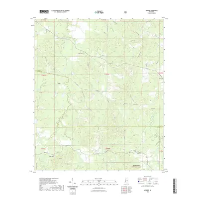
1963 Willows
Claiborne County, MS
1966 Yokena
Claiborne County, MS
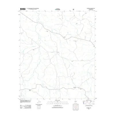
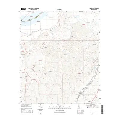
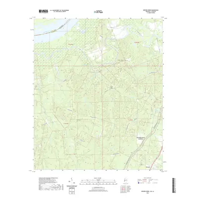
1986 Widows Creek
Claiborne County, MS
2000 McBride
Claiborne County, MS
2012 Carlisle
Claiborne County, MS
2012 Grand Gulf
Claiborne County, MS
2012 McBride
Claiborne County, MS
2012 Widows Creek
Claiborne County, MS
2012 Willows
Claiborne County, MS
2015 Carlisle
Claiborne County, MS
2015 Grand Gulf
Claiborne County, MS
2015 McBride
Claiborne County, MS
2015 Widows Creek
Claiborne County, MS
2015 Willows
Claiborne County, MS
2018 Carlisle
Claiborne County, MS
2018 Grand Gulf
Claiborne County, MS
2018 McBride
Claiborne County, MS
2018 Widows Creek
Claiborne County, MS
2018 Willows
Claiborne County, MS
2020 Carlisle
Claiborne County, MS
2020 Grand Gulf
Claiborne County, MS
2020 Widows Creek
Claiborne County, MS
2020 Willows
Claiborne County, MS
2021 McBride
Claiborne County, MS
2024 Carlisle
Claiborne County, MS
2024 Grand Gulf
Claiborne County, MS
2024 McBride
Claiborne County, MS
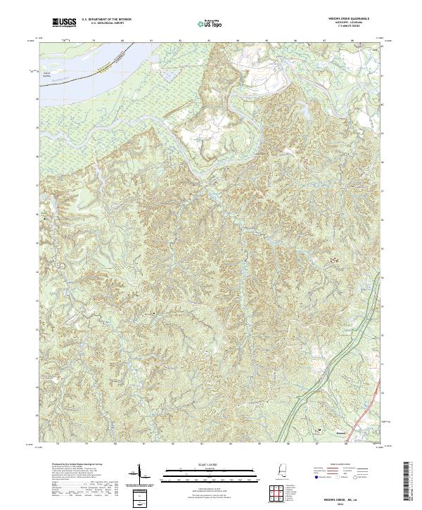
2024 Widows Creek
Claiborne County, MS
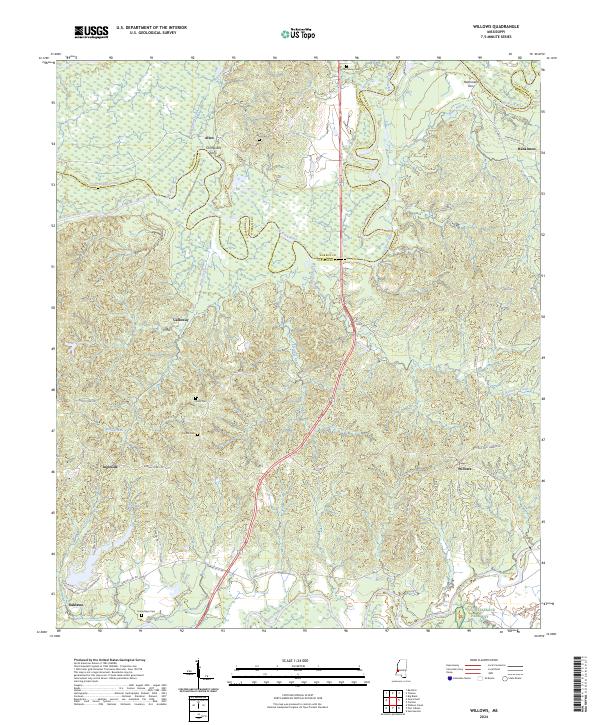
2024 Willows
Claiborne County, MS