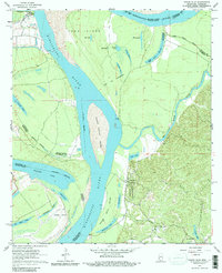
1963 Map of Grand Gulf
USGS Topo · Published 1984About this map
Grand Gulf stands as a focal point along the eastern bluffs in this early 1960s survey, marking a site where river navigation meets significant Civil War history. The Grand Gulf Military Monument preserves the memory of this tactical landscape, overlooking a complex riverine environment defined by the Mississippi River and the meandering Big Black River. Large alluvial landmasses like Togo Island and Middle Ground Island illustrate the shifting nature of the state boundary, where numerous oxbow lakes such as Palmyra Lake and Yucatan Lake remain as remnants of former river channels.
Find a feature on this map
35 named features on this map. Tap any name to fly to it.
Don’t see what you’re looking for? This feature index may not catch every label — zoom into the map to look around manually.
Map Details
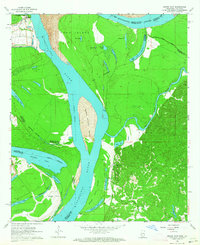
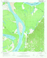
Editions of this 1963 Grand Gulf Map
3 editions found
Other maps of this area

1909 · Lake Bruen
USGS Topo · 1:24,000

1939 · Yokena
USGS Topo · 1:62,500

1939 · Lorman
USGS Topo · 1:62,500

1953 · Natchez
USGS Topo · 1:250,000

1955 · Jackson
USGS Topo · 1:250,000

1956 · Natchez
USGS Topo · 1:250,000

1958 · St. Joseph
USGS Topo · 1:62,500

1959 · Natchez
USGS Topo · 1:250,000

1961 · Jackson
USGS Topo · 1:250,000

1962 · Jackson
USGS Topo · 1:250,000