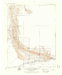
1910 Map of Grand Hogback
USGS Topo · Published 1951About this map
The Grand Hogback is the defining geological structure of this 1906 survey area, cutting a sharp line across the Colorado landscape between the Roan Plateau and the river valleys below. At the southern edge, the Colorado River and the Denver and Rio Grande railroad corridor facilitate movement through the high desert, connecting settlements like Newcastle and Antlers. The map captures an era of early ranching and mineral exploration before major modern developments, where isolated landmarks like Dinner Sta served as essential stopovers for travelers navigating the northern reaches of the Piceance Creek drainage. Further north, the landscape transitions into the White River valley near Log Hill, showing a region defined by its hydrology, including the various forks of Government Creek and the thermal mystery of Burning Mtn.
Find a feature on this map
26 named features on this map. Tap any name to fly to it.
Don’t see what you’re looking for? This feature index may not catch every label — zoom into the map to look around manually.
Map Details
Editions of this 1910 Grand Hogback Map
3 editions found
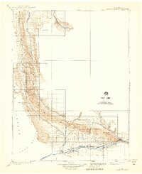
Other maps of this area

1906 · Grand Hogback
USGS Topo · 1:125,000

1907 · White River
USGS Topo · 1:125,000

1910 · Danforth Hills
USGS Topo · 1:125,000

1910 · Grand Hogback
USGS Topo · 1:125,000

1910 · White River
USGS Topo · 1:125,000

1912 · Meeker
USGS Topo · 1:62,500

1914 · Meeker
USGS Topo · 1:62,500

1925 · Parachute Creek
USGS Topo · 1:62,500

1927 · Parachute Creek
USGS Topo · 1:62,500

1927 · Glenwood Springs
USGS Topo · 1:125,000