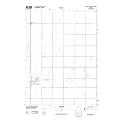
2010 Map of Grand Junction
USGS Topo · Published 2010About this map
Grand Junction serves as the primary hub of this landscape, situated where the east-west highway and local rail corridors converge. The surrounding terrain is defined by the hydrologic network of Beaver Creek, along with its tributaries West Beaver Creek and Little Beaver Creek. These waterways dictate the placement of local infrastructure, notably at the Beaver Creek Bridge near the eastern settlement of Beaver.
Find a feature on this map
31 named features on this map. Tap any name to fly to it.
Don’t see what you’re looking for? This feature index may not catch every label — zoom into the map to look around manually.
Map Details
Editions of this 2010 Grand Junction Map
This is the sole edition of this map. No revisions or reprints were ever made.
Other maps of this area

1950 · Perry
USGS Topo · 1:62,500

1951 · Perry
USGS Topo · 1:62,500

1951 · Ogden
USGS Topo · 1:62,500

1954 · Bagley
USGS Topo · 1:62,500

1954 · Omaha
USGS Topo · 1:250,000

1954 · Fort Dodge
USGS Topo · 1:250,000

1957 · Omaha
USGS Topo · 1:250,000

1957 · Fort Dodge
USGS Topo · 1:250,000

1958 · Omaha
USGS Topo · 1:250,000

1958 · Fort Dodge
USGS Topo · 1:250,000