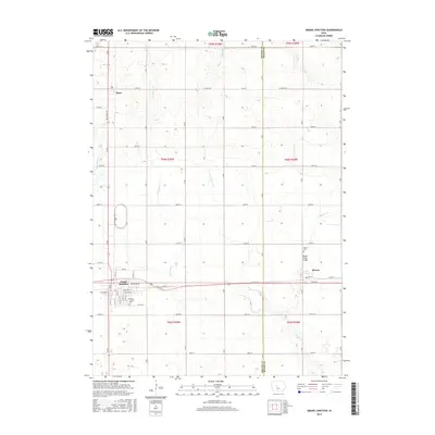
2015 Map of Grand Junction
USGS Topo · Published 2015About this map
Grand Junction serves as the primary hub of this Iowa landscape, where the gridded townsite meets the path of E Railroad St. The surrounding terrain is defined by a complex drainage network involving W Beaver Cr, Little Beaver Cr, and E Buttrick Cr, which carve through the agricultural fields of Greene and Boone counties. To the north, the small settlement of Dana sits along the highway, while the village of Beaver marks the eastern edge of the quadrangle.
Find a feature on this map
40 named features on this map. Tap any name to fly to it.
Don’t see what you’re looking for? This feature index may not catch every label — zoom into the map to look around manually.
Map Details
Editions of this 2015 Grand Junction Map
This is the sole edition of this map. No revisions or reprints were ever made.
Other maps of this area

1950 · Perry
USGS Topo · 1:62,500

1951 · Perry
USGS Topo · 1:62,500

1951 · Ogden
USGS Topo · 1:62,500

1954 · Bagley
USGS Topo · 1:62,500

1954 · Omaha
USGS Topo · 1:250,000

1954 · Fort Dodge
USGS Topo · 1:250,000

1957 · Omaha
USGS Topo · 1:250,000

1957 · Fort Dodge
USGS Topo · 1:250,000

1958 · Omaha
USGS Topo · 1:250,000

1958 · Fort Dodge
USGS Topo · 1:250,000