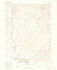
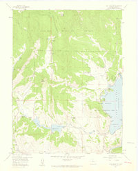
1958 Map of Grand Lake
USGS Topo · Published 1965About this map
The Kawuneeche Valley serves as the western gateway to the high country in this mid-century survey, where the headwaters of the Colorado River wind past early recreational and agricultural outposts. The map documents the overlap of ranching history and emerging tourism, featuring several established lodges and seasonal retreats like Columbine Lodge, Grand Lake Lodge, and the Holzwarth Ranch. Near the northern boundary, the Gaskill (Site) marks a former mining settlement along the river banks, while to the south, the village of Grand Lake sits at the edge of its eponymous water body. Significant engineering is noted by the Alva B Adams Tunnel, which moves water beneath the Continental Divide. High-altitude features including Nakai Peak and Mt Patterson tower over drainage basins such as Onahu Creek and the North Inlet, defining the complex hydrological network of the Rocky Mountain National Park.
Find a feature on this map
52 named features on this map. Tap any name to fly to it.
Don’t see what you’re looking for? This feature index may not catch every label — zoom into the map to look around manually.
Map Details
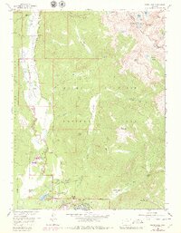
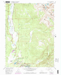
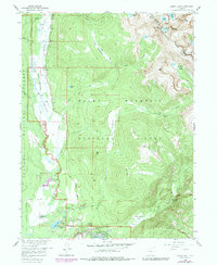
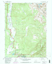
Editions of this 1958 Grand Lake Map
8 editions found
Other maps of this area

1915 · Longs Peak
USGS Topo · 1:125,000

1919 · Rocky Mountain National Park
USGS Topo · 1:125,000

1954 · Greeley
USGS Topo · 1:250,000

1957 · Greeley
USGS Topo · 1:250,000

1957 · Mc Henrys Peak
USGS Topo · 1:24,000

1957 · Trail Ridge
USGS Topo · 1:24,000

1957 · Mount Richthofen
USGS Topo · 1:24,000

1957 · Bowen Mountain
USGS Topo · 1:24,000
1957 · Trail Mountain
USGS Topo · 1:24,000

1958 · Greeley
USGS Topo · 1:250,000