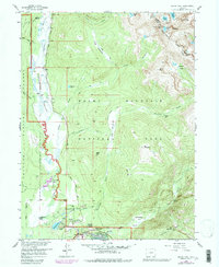
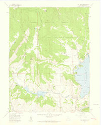
1958 Map of Grand Lake
USGS Topo · Published 1984About this map
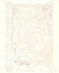
The Kawuneeche Valley serves as a central corridor for the Colorado River as it winds southward toward the town of Grand Lake. This late-1950s record, updated with 1970s aerial revisions, captures a landscape defined by ranching and the early administrative footprint of Rocky Mountain National Park. Notable human history is preserved in sites like the Holzwarth Homestead and the Gaskil (Site), while the recreational infrastructure of the era is evident at the Columbine Lodge and Sun Valley Ranch. High-altitude water management is represented by the Alva B Adams Tunnel, which underscores the engineered nature of the region's watersheds. The rugged alpine boundary is marked by the Continental Divide, connecting prominent summits such as Nakai Peak, Mt Julian, and Chief Cheley Peak, while numerous high-basin lakes like Azure Lake and Inkwell Lake punctuate the mountain terrain.
Find a feature on this map
57 named features on this map. Tap any name to fly to it.
Don’t see what you’re looking for? This feature index may not catch every label — zoom into the map to look around manually.
Map Details
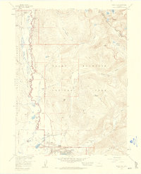
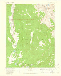
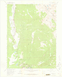
Editions of this 1958 Grand Lake Map
8 editions found
Other maps of this area

1915 · Longs Peak
USGS Topo · 1:125,000

1919 · Rocky Mountain National Park
USGS Topo · 1:125,000

1954 · Greeley
USGS Topo · 1:250,000

1957 · Greeley
USGS Topo · 1:250,000

1957 · Mc Henrys Peak
USGS Topo · 1:24,000

1957 · Trail Ridge
USGS Topo · 1:24,000

1957 · Mount Richthofen
USGS Topo · 1:24,000

1957 · Bowen Mountain
USGS Topo · 1:24,000
1957 · Trail Mountain
USGS Topo · 1:24,000

1958 · Greeley
USGS Topo · 1:250,000