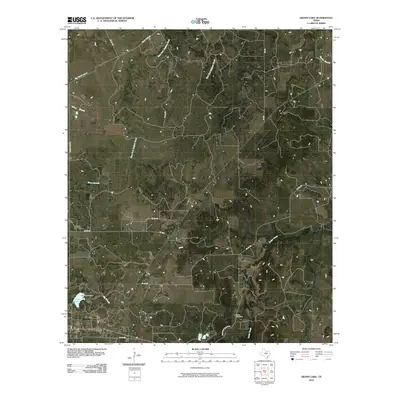
2010 Map of Grand Lake
USGS Topo · Published 2010About this map
Grand Lake and its accompanying Grand Lake Dam anchor the southwestern corner of this West Texas landscape, where the terrain is defined by a dense network of intermittent creek forks. The area is characterized by the headwaters of West Fork Bufford Creek and East Fork Bufford Creek, which carve northward through the ranch lands. Local travel and property boundaries follow a grid of rural routes including Yellow Fork Rd, Woodruff Ranch Rd, and several numbered county roads that connect isolated homesteads.
Find a feature on this map
19 named features on this map. Tap any name to fly to it.
Don’t see what you’re looking for? This feature index may not catch every label — zoom into the map to look around manually.
Map Details
Editions of this 2010 Grand Lake Map
This is the sole edition of this map. No revisions or reprints were ever made.
Other maps of this area

1890 · Breckenridge
USGS Topo · 1:125,000

1925 · Breckenridge 1-b
USGS Topo · 1:48,000

1931 · Ivan
USGS Topo · 1:62,500

1954 · Abilene
USGS Topo · 1:250,000

1958 · Abilene
USGS Topo · 1:250,000

1958 · Breckenridge
USGS Topo · 1:24,000

1961 · Buck Mountain
USGS Topo · 1:24,000
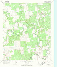
1967 · Crystal Falls
USGS Topo · 1:24,000

1967 · Necessity
USGS Topo · 1:24,000
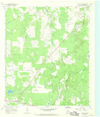
1967 · Grand Lake
USGS Topo · 1:24,000