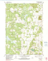
1979 Map of Grand Marsh
USGS Topo · Published 1991About this map
Grand Marsh serves as the primary community hub in this central Wisconsin landscape, situated along the Chicago and North Western rail line. The terrain is defined by dramatic elevations such as Preston Cliffs, Pilot Knob Bluff, and Spring Bluff, which rise above the marshy lowlands drained by Fordham Creek and Duck Creek. This 1970s survey illustrates a rural social fabric built around local institutions, including Lincoln Sch and several religious landmarks like St Methodius Ch. The distribution of burial grounds, including Pine Grove Cem and Gould Rock Cem, provides a detailed record of the families who settled these townships. Recreational life is centered on Patrick Lake, featuring a Boat Ramp and County Park, while the local economy is evidenced by the presence of a Townhall and scattered Gravel Pits.
Find a feature on this map
45 named features on this map. Tap any name to fly to it.
Don’t see what you’re looking for? This feature index may not catch every label — zoom into the map to look around manually.
Map Details
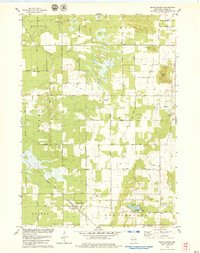
Editions of this 1979 Grand Marsh Map
2 editions found
Other maps of this area

1955 · Green Bay
USGS Topo · 1:250,000

1957 · Madison
USGS Topo · 1:250,000

1958 · Arkdale
USGS Topo · 1:48,000

1958 · Coloma
USGS Topo · 1:48,000

1960 · Madison
USGS Topo · 1:250,000

1961 · Oxford
USGS Topo · 1:62,500

1961 · Adams
USGS Topo · 1:62,500

1967 · Roche A Cri
USGS Topo · 1:24,000

1968 · Coloma SW
USGS Topo · 1:24,000

1968 · Coloma
USGS Topo · 1:24,000