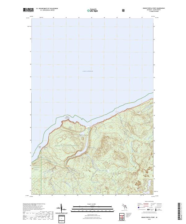
2023 Map of Grand Portal Point
USGS Topo · Published 2023About this map
Pictured Rocks dominates this stretch of the Lake Superior shoreline, where the land meets the water in a series of dramatic geographic formations. The northern edge of the Upper Peninsula is defined here by landmarks like Grand Portal Point and Lovers Leap, alongside the inland reaches of the Beaver Basin Wilderness. The landscape is etched by water moving toward the Great Lake, with the Mosquito River and Chapel Creek feeding into the basin. Significant vertical relief is marked by Spray Falls, Chapel Falls, and Mosquito Falls, which serve as focal points for the North Country National Scenic Trl as it follows the coastal contours. This modern survey illustrates the intersection of federal protected lands, including the Hiawatha National Forest, and the preserved shoreline accessible via Chapel Rd.
Find a feature on this map
24 named features on this map. Tap any name to fly to it.
Don’t see what you’re looking for? This feature index may not catch every label — zoom into the map to look around manually.
Map Details
Editions of this 2023 Grand Portal Point Map
This is the sole edition of this map. No revisions or reprints were ever made.
Other maps of this area

1931 · Shingleton NE
USGS Topo · 1:31,680

1958 · Munising
USGS Topo · 1:62,500

1958 · Wood Island
USGS Topo · 1:62,500

1958 · Shingleton
USGS Topo · 1:62,500

1958 · Grand Portal Point
USGS Topo · 1:62,500

1958 · Marquette
USGS Topo · 1:250,000

1960 · Marquette
USGS Topo · 1:250,000

1961 · Marquette
USGS Topo · 1:250,000

1968 · Marquette
USGS Topo · 1:250,000

1983 · Munising
USGS Topo · 1:100,000