Loading...
Loading map...2023 Map of Grand Rapids
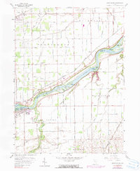
USGS Topo · Published 2023About this map
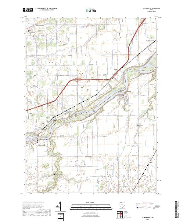
The Maumee River bisects this region of Ohio, shaping a landscape defined by its numerous islands and intricate drainage network. In this modern survey, the river is dotted with landforms like Otter Island, Hedges Island, and the curiously named Number 3 Island. Along the northern banks, the Anthony Wayne Trail follows the river's curve toward Waterville, while the village of Grand Rapids sits at a historic crossing point on the southern shore.
Find a feature on this map
101 named features on this map. Tap any name to fly to it.
Don’t see what you’re looking for? This feature index may not catch every label — zoom into the map to look around manually.
Map Details
Date Portrayed2023
Date Published2023
PublisherU.S. Geological Survey
Map TypeTopographic
Scale1:24000
Physical Dimensions24 x 29 inches
Editions of this 2023 Grand Rapids Map
This is the sole edition of this map. No revisions or reprints were ever made.
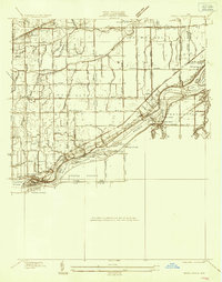
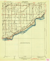
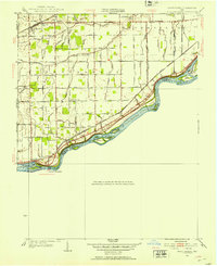
Historical Maps of Bailey Through Time
5 maps found
Featured Locations
Source Details
SourceU.S. Geological Survey
CopyrightPublic Domain