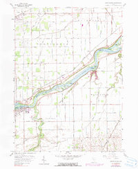
1958 Map of Grand Rapids
USGS Topo · Published 1990About this map
The Maumee River corridor serves as the geographic heart of this mid-century survey, defining the boundary between Wood and Lucas Counties. This river landscape is punctuated by a series of significant alluvial landforms, including Missionary Island, Indian Island, and Howard Island. The settlement of Grand Rapids occupies the southern bank, positioned near the historic canal works, while Providence sits directly across the water. Transport networks are deeply etched into the terrain, from the Norfolk and Western and Baltimore and Ohio rail lines to the extensive grid of rural routes such as the Waterville-Neapolis Road. For local historians, the presence of landmarks like St Patrick Cem, Providence Ch, and the Township Sch in Neapolis provides a clear view of the social infrastructure supporting these farming communities.
Find a feature on this map
64 named features on this map. Tap any name to fly to it.
Don’t see what you’re looking for? This feature index may not catch every label — zoom into the map to look around manually.
Map Details
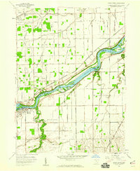
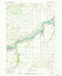
Editions of this 1958 Grand Rapids Map
3 editions found
Other maps of this area

1900 · Toledo
USGS Topo · 1:62,500

1901 · Bowling Green
USGS Topo · 1:62,500

1903 · Bowling Green
USGS Topo · 1:62,500

1909 · Mc Clure
USGS Topo · 1:62,500

1911 · Swanton
USGS Topo · 1:62,500

1914 · Swanton
USGS Topo · 1:62,500

1935 · Grand Rapids
USGS Topo · 1:24,000

1935 · Whitehouse
USGS Topo · 1:24,000

1935 · Maumee
USGS Topo · 1:24,000
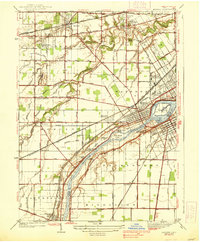
1938 · Maumee
USGS Topo · 1:31,680